What is recorded here
According to the Civil Survey (1654-6) there was 'a grist mill' in this area (Simington 1931, vol.1, 363). The mill was tentatively located to a mill which is marked as an 'Old Flour Mill' on the 1st (1840) ed. 6-inch OS map. However, following an inspection, this mill appears to be of 18th century date and is likely to be assoicated with Millgrove House which is situated c. 100m to the SE. The mill referred to in the Civil Survey remains unlocated.
Compiled by: Jean Farrelly
Date of upload: 07 January 2014
The monument record does not grant public access. Check the route and ask the landowner before entering private land.
- What survives
- Recorded monument
Places near here
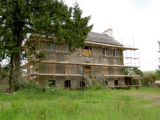 Millgrove Househouse · 411 yd
 IndicatedEnclosure · 1014 yd
 Garrycloher WoodForest · 1183 yd
 Church (in ruins)Church · 1261 yd
 Ecclesiastical enclosure in WhitechurchEcclesiastical enclosure · 1266 yd
 Bawn in CloheenafishogeBawn · 1.9 mi
 Knockane Castle ruinsCastle · 2.2 mi
 SlieveanardMountain / peak · 2.3 mi
 Slieveanard NE TopMountain / peak · 2.5 mi
 European YewEuropean Yew · 3.0 mi
 Siege of Cahir Castlesiege · 3.1 miCahir CastleHeritage attraction · 3.1 mi