What is recorded here
Located c. 400m E of the E perimeter of the medieval Thomastown (KK028-040----), on the E bank of a river which flows S c. 60m into the River Nore. A watermill is indicated on the Down Survey (1655-6) barony map of Gowran, County Kilkenny (Hibernia Regnum, courtesy of Trinity College Dublin) on the W bank of this tributary. On the 1st ed. OS 6-inch map there is a watermill indicated as an ‘Old Flour Mill’ on the E bank of the river. This three-storey watermill may be on the site of, or incorporate some of the fabric of, an earlier mill (Farrelly et al. 1993, 197).
See attached:
KK028-089----_01 extract from Down Survey (1655-6) barony map of Gowran (Hib. Reg., courtesy of Trinity College Dublin)
Compiled by: Jean Farrelly
Date of upload: 4 August 2021
The monument record does not grant public access. Check the route and ask the landowner before entering private land.
- What survives
- Recorded monument
Places near here
 unknownunknown · 226 yd
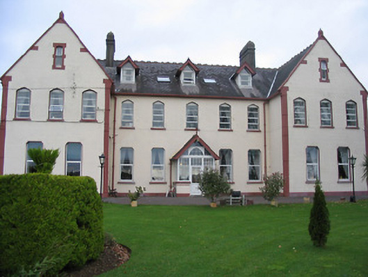 Saint Joseph's Convent of Mercyconvent/nunnery · 285 yd
 Font in CloghabrodyFont · 356 yd
 Enclosure in Dangan (gowran By.)Enclosure · 376 yd
 The Yellow GateMemorial · 530 yd
 Oliver (Ollie) WalshMemorial · 680 yd
 CastleCastle, Anglo-Norman masonry castle · 739 yd
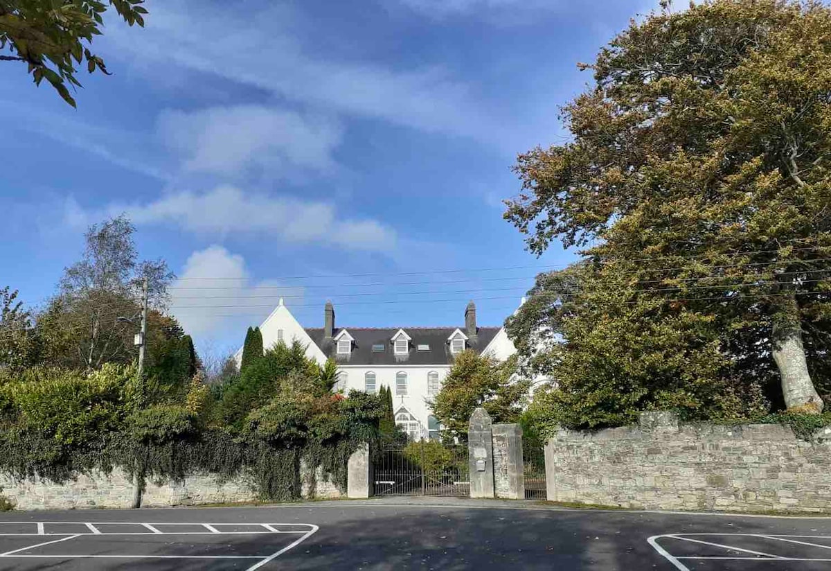 Thomastown QuarryNature reserve · 1414 yd
 Dangan WoodForest · 1658 yd
 Bawn in LeganBawn · 1.5 mi
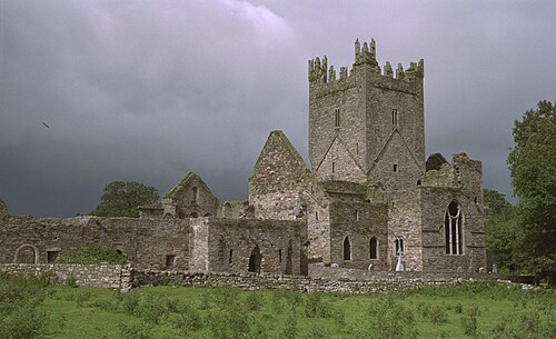 Jerpoint AbbeyHeritage attraction · 1.5 mi
 Holy WellSpring · 1.7 mi