What is recorded here
On a gentle SE-facing slope on poorly drained grassland in upland area with good views in all directions. Nearby moated site (TS049-045----) 150m to E and enclosure (TS049-041----) 250m to W. Fish-pond consists of a large waterlogged circular-shaped area (approx. diam. 40m N-S; 50m E-W) which even in the summer time after a dry-spell was still very wet. No enclosing feature visible. Depicted as a circular enclosure and marked on the 1st (1840) ed. OS 6-inch map as an 'Old Fish Pond', not indicated on the 1903 edition. Remains of enclosure can be seen on the other side of the field boundary to the S, this field boundary bisects the pond on a N-S axis. Stream appears to have fed the fish-pond from the W side running E-W. Fish-pond associated with nearby moated site (TS049-045----) to E. Field boundaries have changed just slightly since first ed. OS 6-inch map, fish-pond may have been levelled when these alterations took place. No evidence of fish-pond in field to NW of junction of field boundaries. At the junction of two field boundaries evidence for fish-pond in SW and SE quadrants, no evidence in NW and NE quadrants.
Compiled by: Jean Farrelly
Date of upload: 26 August 2011
The monument record does not grant public access. Check the route and ask the landowner before entering private land.
- What survives
- Recorded monument
Places near here
 Site of Lisnamrock CastleCastle, unclassified · 530 yd
 Lisnamrock Collierychimney · 585 yd
 IndicatedEnclosure · 904 yd
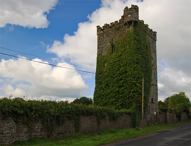 Site of Williamstown CastleCastle, unclassified · 941 yd
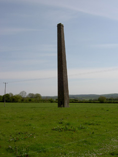 Copper Steeplechimney · 1041 yd
 Site of ChurchChurch · 1.2 mi
 Warhouse HillMountain / peak · 2.5 mi
 Bregaun HillMountain / peak · 2.7 mi
 Top Field at Carey'sForest · 3.3 mi
 Second Field on the HillForest · 3.4 mi
 Slieveardagh Heritage CentreVisitor information · 4.7 mi
 Kilcooly AbbeyHeritage attraction · 4.7 mi