What is recorded here
The building depicted as 'Old Court' on the 1837 ed. OS 6-inch map is located 50m E of Lough Derravaragh and 80m NNW of Mortimer's Castle (WM007-044----). According to local tradition 'Old Court' was said to have been the seat of the Mortimer family in the late middle ages. Described in 1980 as 'The buildings shown on the OS map have completely disappeared. The ruined buildings to the N.W. appear to be the remains of 18th or 18th century outhouses. No archaeological significance' (ASI Survey Report 9 October 1980).
Compiled and revised by: Caimin O'Brien
Date of revised upload: 13 April 2017
The monument record does not grant public access. Check the route and ask the landowner before entering private land.
- What survives
- Recorded monument
Places near here
 Old CourtArchaeological place · 4 yd
 Mortimer's CastleArchaeological place · 155 yd
 Crannog in FaughalstownCrannog · 439 yd
 Faughalstown ChurchChurch · 990 yd
 Bawn in KiltoomBawn · 1.1 mi
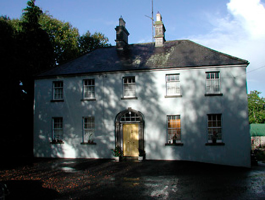 Grangestown Househouse · 1.2 mi
 European BeechEuropean Beech · 2.5 mi
 Bridge Memorial (Kenna)Memorial · 2.6 mi
 KnockeyonMountain / peak · 2.6 mi
 Pedunculate OakPedunculate Oak · 2.7 mi
 St Feichin's MillHeritage attraction · 5.2 mi
 South East GateHeritage attraction · 5.2 mi