
What is recorded here
Old Boundary Stone, West Coker / East Chinnock is shown and named in a reusable Geograph picture. The saved point is the picture's recorded map point.
The picture record does not grant access. Use signed public paths and do not enter private land without permission.
Places near here
 Milestone, approximately 30m south-west of Coker Hill BridgeListed building · 48 yd
 West Coker Fen Nature ReserveNature reserve · 414 yd
 Coker HillMountain / peak · 442 yd
 Coker Hill Reservoir and Mobile Phone TransmitterMountain or hill · 530 yd
 Hardington Moor National Nature ReserveNature reserve · 1347 yd
 The RectoryListed building · 1414 yd
 Barrows Hill GarageMountain or hill · 1.3 mi
 East Coker boundary stone - HolywellMonument or public art · 1.5 mi
 Medieval Village of WitcombeArchaeological place · 1.9 mi
 Butcher's HillMountain / peak · 2.1 mi
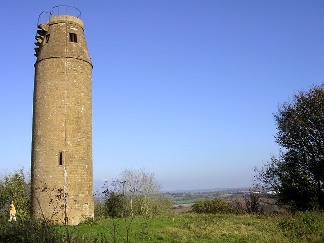 The tower on St Michael's Hill, MontacuteCastle, fort or tower · 2.3 mi
 Waterfall in the mill copseWaterfall · 2.4 mi
Other information
Photo: Mr Red · CC BY-SA 2.0