
What is recorded here
Medieval Village of Witcombe is shown as a archaeological place on the public map of Somerset. The saved point is the map point or the centre of its mapped shape.
This does not grant access. Check current paths, opening conditions and ownership before entering.
Places near here
 Butcher's HillMountain / peak · 385 yd
 Oak tree Ham Hill country parkMountain or hill · 447 yd
 Norton CovertWood · 662 yd
 Hedgecock Hill WoodWood · 906 yd
 Little Norton MillListed building · 1058 yd
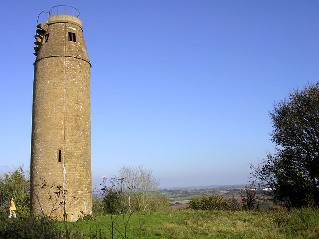 The tower on St Michael's Hill, MontacuteCastle, fort or tower · 1085 yd
 Hedgecock HillMountain / peak · 1132 yd
 Tower on St Michaels HillListed building · 1182 yd
 Modern Art Ham Hill Country ParkMountain or hill · 1254 yd
 The stone circle on Ham HillAncient stone or rock art · 1666 yd
 Ham Hill Stone CircleAncient stone or rock art · 1667 yd
 Waterfall in the mill copseWaterfall · 1.2 mi
Other information
Photo: Rupert Fleetingly · CC BY-SA 2.0