
What is recorded here
Oileán na Muice is a long, ridge-spined islet off the northern coast of Mayo where a stone wall cuts across a narrow neck, suggesting a promontory fort that used the sea as its own defence. Markus Casey later argued the island was once joined to the mainland, making the wall a practical fortification rather than a mysterious marine anomaly. T. J. Westropp dismissed the wall as natural in 1912, but that doubt has lingered because the site remains unmarked, inaccessible and uncertain.
Oileán na Muice is recorded as a islet in County Mayo. Its open map record supplies this location and any linked names or public references.
Oileán na Muice, meaning "Island of the Pig" in Irish, is a small islet located off the coast of County Mayo. It is notable for its traditional Irish name and its inclusion in historical and linguistic studies of the Irish language in place names.
Places near here
 Promontory fortPromontory fort, coastal · 64 yd
 Barr an DígínMountain / peak · 1649 yd
 An DúnaHeadland · 2.8 mi
 Portacloy Signal TowerRuins · 3.3 mi
 Oileán MáistirIslet · 3.4 mi
 Catholic Church of Our Lady Star of the Seachurch/chapel · 3.4 mi
 An Bhinn BhuíMountain / peak · 4.1 mi
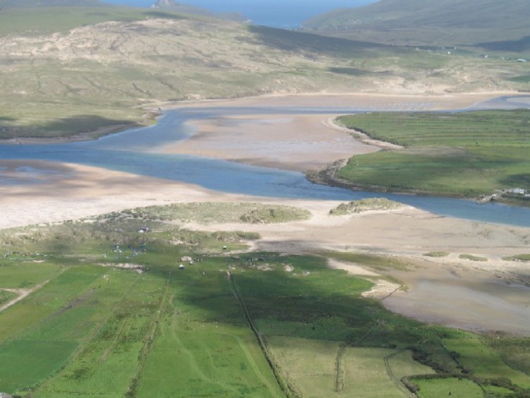 Sruth Fada ConBay · 4.8 mi
 Enclosure in Ros DumhachEnclosure · 4.9 mi
 Glengad BeachBeach / strand · 5.1 mi
 Site of CastleCastle, unclassified · 6.3 mi
 Site of Myles Barretts CastleCastle, unclassified · 9.0 mi
Other information
Photo: Credit not shown in the picture search · Rights wording not checked; contact us if this picture should be removed