What is recorded here
Camp (KE036-083----) in Beaufort (KE036-083----) is an ogham stone (present location) in Beaufort (KE036-083----). It stands beside a woodland path on the west bank of the Laune River, south-east of Beaufort House. The stone is 1.25 metres high, 0.48 metres wide and 0.2 metres thick, facing north-south. A hole near the top hints that it once worked as a gatepost. Its rough surface hides most of the writing, leaving only fragments of a name and a second faded mark behind stone and time.
Standing beside a woodland path on the W bank of the Laune River to the SE of Beaufort House. This is the present location of an ogham stone found near Camp (KE036-083----), on the Dingle peninsula, about the middle of the 19th century. It stands 1.25m high and is .48m wide x .2m thick and is currently orientated NS. A perforation near the top of the stone suggests that it may at one time have functioned as a gatepost. The surface of the stone is very rough and the inscription, particularly the vowels, is not easy to read. Macalister (1945, 169, no. 177) interpreted it as:
CCILARI AV(I) ....COI VAG...
Traces of a 2nd inscription are discernible near the top of one of the opposite angles. The letters ANI remain. (Cuppage 1986, no. 801)
Compiled by: Nora White
Date of upload: 16 November 2016
To see a 3D model of this monument, visit; https://skfb.ly/oyoXW
The monument record does not grant public access. Check the route and ask the landowner before entering private land.
- What survives
- Recorded monument
Places near here
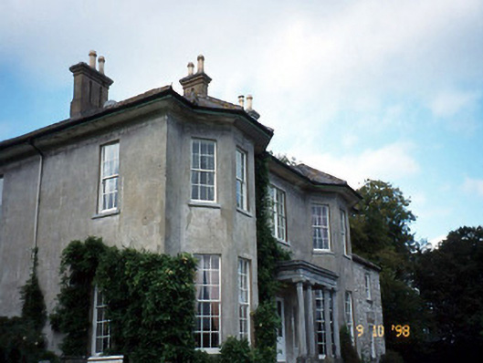 Beaufort Housecountry house · 110 yd
 CastleCastle, tower house · 126 yd
 IndicatedFairy fort / earthen ringfort · 504 yd
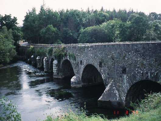 Beaufort Bridgebridge · 533 yd
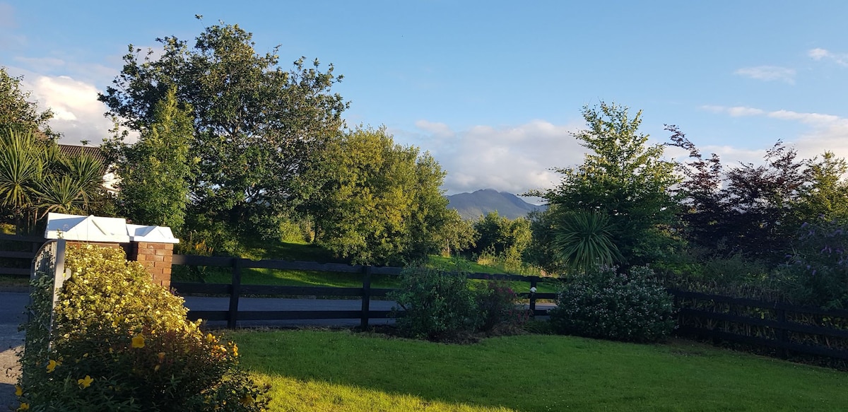 Man-made underground passage in BeaufortMan-made underground passage · 592 yd
 Castle (in Ruins)Castle, tower house · 973 yd
 Japanese pagoda treeJapanese pagoda tree · 1068 yd
 European YewEuropean Yew · 1078 yd
 Dunloe Ogham StonesHeritage attraction · 1273 yd
 Rabbit or Brown IslandIslet · 2.9 mi
 Tomies Mountain North TopMountain / peak · 2.9 mi
 O'Sullivan's CascadeWaterfall · 3.0 mi