What is recorded here
In the 1940s, men digging a new tomb in Rathduff graveyard struck a rectangular sandstone block hidden beneath the soil. They set it prostrate against the west end of a large tomb, where it still lies fourteen metres from the wall. The scores remain clear enough to read, though they split into two possible names rather than one certain life. What is clear is that the stone survived burial, movement and forgetting, still holding its sharp marks against the dark earth.
A 2nd ogham stone (see also KE045-025003-) was discovered in the 1940's during the excavation of a new tomb in the graveyard (KE045-025001-) (Macalister 1942, 76). It now lies prostrate against the W end of a large tomb about 14m from the W wall of the graveyard. It is a rectangular block of sandstone measuring 1.3m in length, .33m in width and .12m in thickness. Although the scores are clearly legible, 2 interpretations are possible:
LLONNOCC MAQQ(......
SONNOCC MAQQ(......
To see a 3D model of this monument, visit; https://skfb.ly/6oU6U
The above description is derived from J. Cuppage (compiler) 'Corca Dhuibhne. Dingle Peninsula archaeological survey.' Ballyferriter. Oidhreacht Chorca Dhuibhne (1986), no. 873. In certain instances the entries have been revised and updated in the light of recent research.
Date of upload: 30 May 2013
The monument record does not grant public access. Check the route and ask the landowner before entering private land.
- What survives
- Recorded monument
Places near here
 Man-made underground passage in Baile An Tsagairt (tc Baile An Bhóthair)Man-made underground passage · 250 yd
 Enclosure in Baile An Tsagairt (tc Baile An Bhóthair)Enclosure · 572 yd
 Brackloon Lodgehotel · 1.4 mi
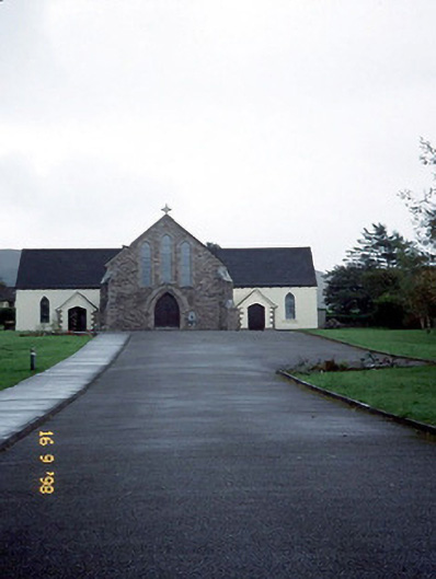 Catholic Church of the Sacred Heartchurch/chapel · 1.5 mi
 BrickanyMountain / peak · 1.5 mi
 Statue of Our LadyHeritage attraction · 1.7 mi
 Jerome ConnorMemorial · 1.7 mi
 Graveyard in BallynacourtyGraveyard · 2.1 mi
 Bunaneer StrandBeach / strand · 2.4 mi
 Glanteenassig Forest ParkForest · 2.5 mi
 CummeenMountain / peak · 2.7 mi
 Inch BeachVisitor information · 2.7 mi