What is recorded here
On a gentle N-facing slope, just below the crest of a flat-topped hill, in tillage. The view N, NE-E is dominated by the southern Wicklow mountains, good view SE along the Slaney river valley, limited S by rising ground and extensive to the W, with hills to the NW. This is a pink granite stone (H 1.1m; 0.4m x 0.65m) with a badly weathered inscription on the SW angle. It includes the letters MAC. The stone is possibly connected with the nearby early ecclesiastical site at Waterstown (CW004-012001). (Brindley and Kilfeather 1993, no. 515) Preservation Order number: 3/1984.
See attached photographs:
CW004-011----_01 W face looking E
CW004-011----_02 S and W faces looking NE
Compiled by: Jean Farrelly
Date of revised upload: 17 October 2018
This monument is subject to a preservation order made under the National Monuments Acts 1930 to 2014 (PO no. 3/1984).
The monument record does not grant public access. Check the route and ask the landowner before entering private land.
- What survives
- Recorded monument
Places near here
 Rathvilly MoatArchaeological place · 555 yd
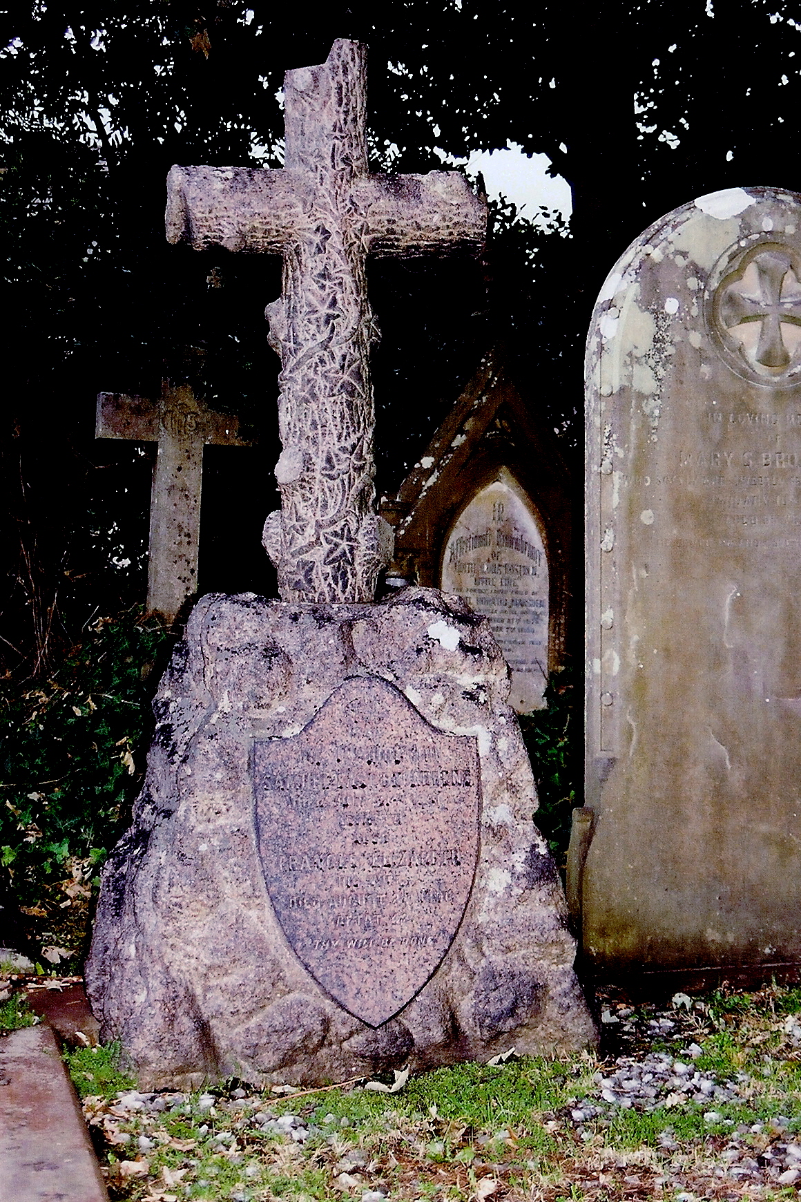 Church (site of), Cross, GraveyardChurch · 571 yd
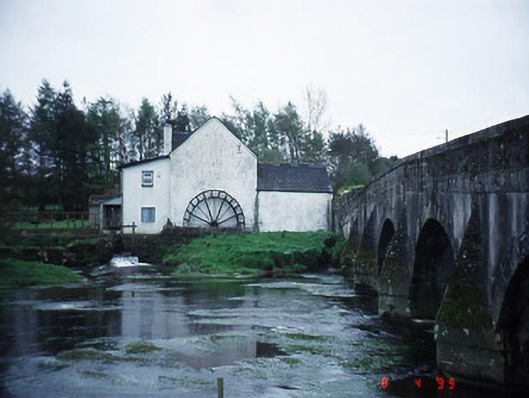 mill (water)mill (water) · 1040 yd
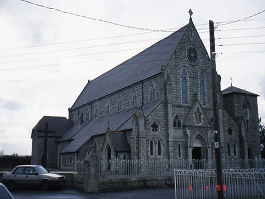 Saint Patrick's Catholic Churchchurch/chapel · 1067 yd
 Rahill Church (in ruins), GraveyardChurch · 2.1 mi
 Acaun Church (in ruins), GraveyardChurch · 2.6 mi
 European BeechEuropean Beech · 2.8 mi
 MoatamoyCastle, motte · 4.0 mi
 Coppenagh CastleCastle, tower house · 4.4 mi
 Sessile OakSessile Oak · 5.1 mi
 Saint Brigit's Mass StoneNamed rock · 5.1 mi
 Saint Brigit's ChairNamed rock · 5.3 mi