What is recorded here
In the 1930s, under the townland of Gloherane [Clogherane] (OS 6-inch maps 108/9), Captain D. B. O'Connell recorded that 'At Glenmore, on the mountain, I have heard there is a huge stone having ogham characters traced on it' (KAS). This stone has not been precisely located. There is a townland named Glanmore (OS 6-inch map 111) on the N side of Hungry Hill. However, it has been suggested that perhaps what O'Connell was referring to was Pluais na Scríob (KE109-050----) in the townland of Glanrastel.
Compiled by: Elizabeth Byrne, Ursula Egan and Sheila Ronan, Archaeological Survey Unit, University College, Cork.
Date of upload: 30 May 2011
The monument record does not grant public access. Check the route and ask the landowner before entering private land.
- What survives
- Recorded monument
Places near here
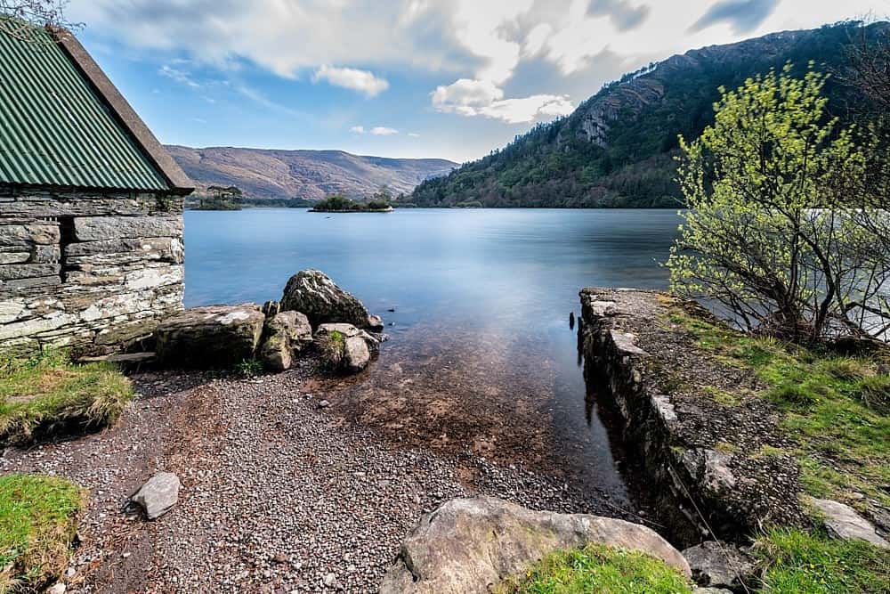 Hut site in Glanmore (glanarought By.)Hut site · 471 yd
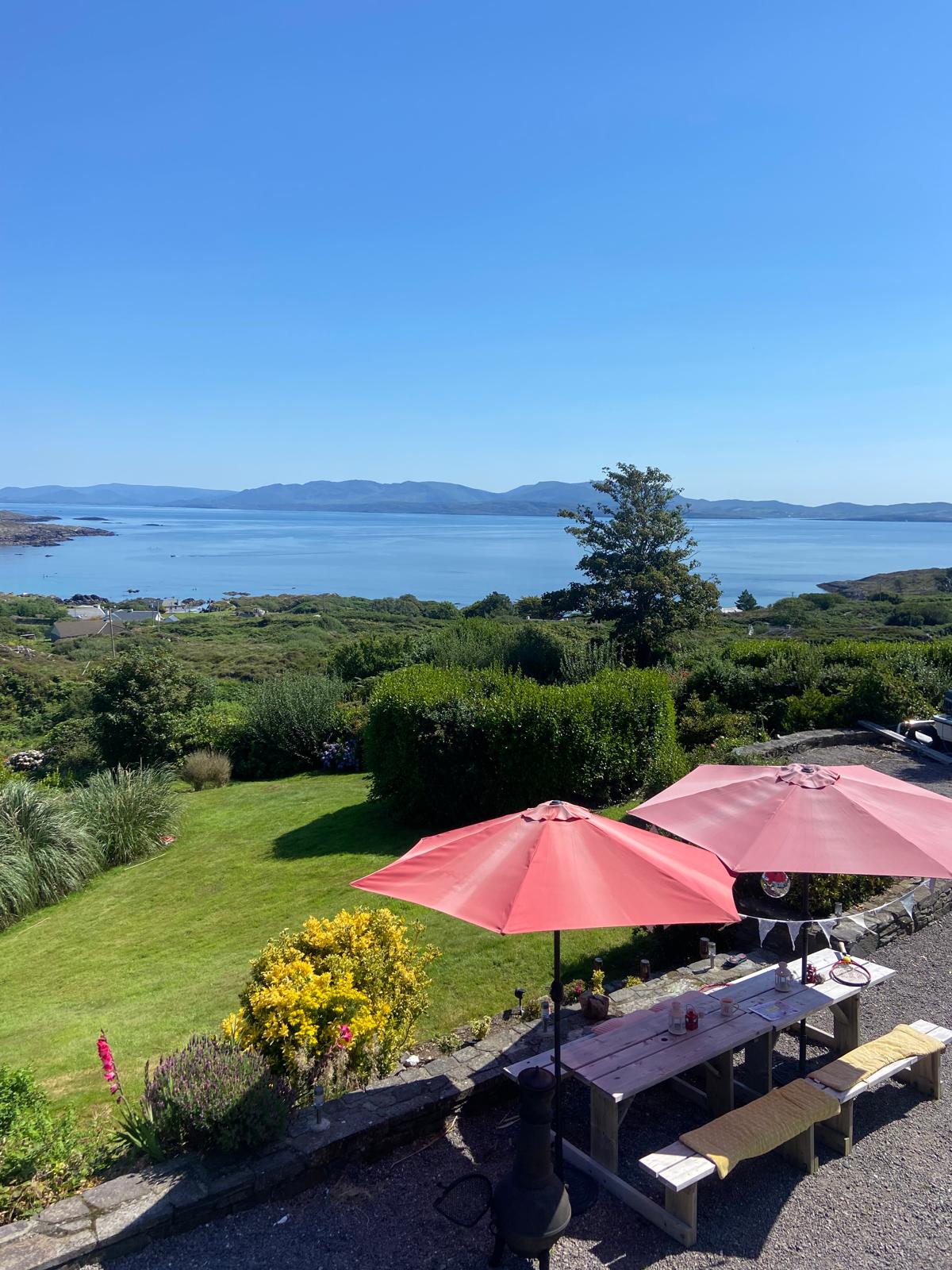 Enclosure in Glanmore (glanarought By.)Enclosure · 636 yd
 LackabaneMountain / peak · 1.2 mi
 CurraghreagueMountain / peak · 1.3 mi
 Mare's Tail WaterfallViewpoint · 1.8 mi
 IllaunateeIslet · 2.6 mi
 Crane IslandIslet · 2.6 mi
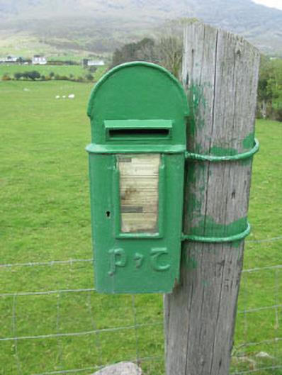 post boxpost box · 2.7 mi
 Ahadav Br.Bridge · 3.2 mi
 TrawnablahaBeach / strand · 3.5 mi
 Beara WayWalking route · 3.9 mi
 West Cork Sailing & Powerboating CentreHeritage attraction · 4.2 mi