What is recorded here
Doona Fort still stands near Dunbeacon, buried under ferns and briars that swallow every path. In 1914, T. J. Westropp claimed an ogham stone lay nearby, but nobody has found that stone since. The coast keeps its secrets, hiding even the marks of hands that chiselled them centuries ago.
In 1914 T. J. Westropp reported to R.A.S. Macalister the he had found a stone with an ogham inscription near the coastal promontory fort (CO130-024001-) known as 'Doona Fort' (NMI). This possible ogham stone was not located in the immediate vicinity of the promontory fort which is covered by a dense overgrowth of ferns, briars and bushes and is inaccessible. Its precise location is not known. (Ronan et al. 2009, no. 16166)
Compiled by: Nora White
Date of upload: 24 April 2016
The monument record does not grant public access. Check the route and ask the landowner before entering private land.
- What survives
- Recorded monument
Places near here
 Dunbeacon Burial GdBurial ground · 902 yd
 Fulacht fia in DunbeaconFulacht fia · 972 yd
 Dunbeacon Castle (in Ruins)Castle, tower house · 1681 yd
 Mannion's Island (Large)Islet · 1.1 mi
 Derryfunchionhouse · 1.3 mi
 Mannion's Island (Small)Islet · 1.3 mi
 Rossmore Castle (in Ruins)Castle, tower house · 1.3 mi
 Mount CorrinMountain / peak · 1.4 mi
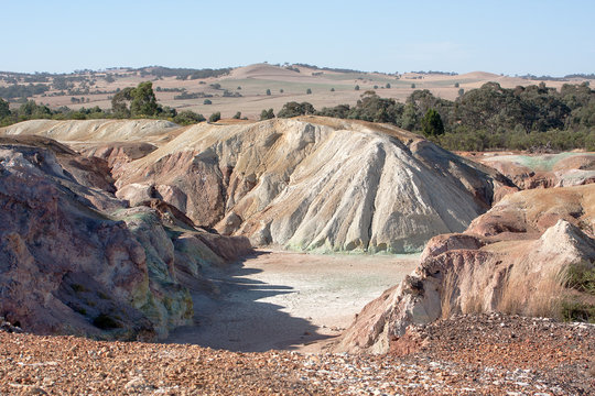 MineMine, copper · 1.5 mi
 KnockaughnaMountain / peak · 2.1 mi
 Mount Gabriel View Point toward SouthViewpoint · 2.6 mi
 Mount Gabriel View Point toward NorthViewpoint · 2.6 mi