What is recorded here
A large rectangular fallen slab of close-grained slate (dims. L 2.87m; Wth at W end 1.78m tapering to Wth at E end of 1.55m; max. T 0.45m tapering to 0.28m at the E end), in its own enclosure in a corner of a field by the side of the road. On the N edge of the upper face, along the eastern portion for a length of c. 1.15m from the E edge, is an ogham inscription read by Macalister (1945, 42-4, no. 38) as: CORBI KOI MAQI LABRID. According to Macalister (ibid.) the stone was originally standing upright in the field in which it is now recumbent.
(National Monument no. 599)
This stone has been studied as part of the ‘Ogham in 3D’ project undertaken by the School of Celtic Studies, Dublin Institute for Advanced Studies. To access details go to the following website: http://ogham.celt.dias.ie/search.php?ciic=38
Compiled by: Nora White
Date of revised upload: 11 January 2017
The monument record does not grant public access. Check the route and ask the landowner before entering private land.
- What survives
- Recorded monument
Places near here
 Ballyboodan Ogham StoneArchaeological place · 3 yd
 Kilcurl Church RuinArchaeological place · 500 yd
 Church (in Ruins), GraveyardChurch · 515 yd
 CastleCastle, tower house · 658 yd
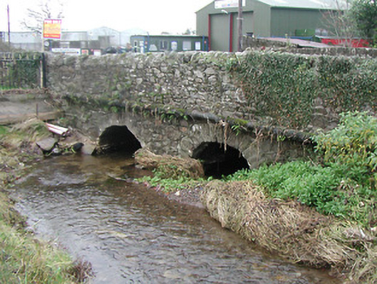 Ballyhale Bridgebridge · 1471 yd
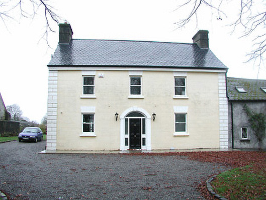 Limegrove Housefarm house · 1514 yd
 Graveyard in DerrynahinchGraveyard · 1.4 mi
 Sheepstown Castle (site of)Archaeological place · 1.6 mi
 Castlemorris Pheasant LoopWalking route · 2.4 mi
 Castlemorris WoodForest · 2.4 mi
 Turkey OakTurkey Oak · 2.6 mi
 Holy WellSpring · 3.9 mi