What is recorded here
From King (2007, 55-6, No. 7). A slab type stone in the south-east end of the graveyard. The upper quarter has a cruciform shape. It is 90cm in height, 40cm across the upper arms, 42cm side and 13cm in depth. It is not dissimilar to some plain cruciform stones in the western highlands in Scotland.
Date of upload: 10 July, 2014
The monument record does not grant public access. Check the route and ask the landowner before entering private land.
- What survives
- Recorded monument
Places near here
 Cross in NobberCross · 1 yd
 Church of Saint John the Baptist (Nobber)church/chapel · 31 yd
 Nobber GreenwayMemorial · 58 yd
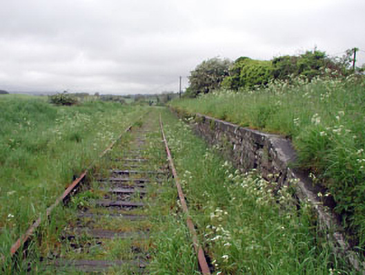 Nobber Railway Stationplatform · 86 yd
 MoatCastle, motte and bailey · 342 yd
 Enclosure in BrittasEnclosure · 971 yd
 Common LimeCommon Lime · 1267 yd
 Gallows HillMountain / peak · 1272 yd
 Cherburg WoodForest · 1739 yd
 Ugly HillMountain / peak · 1.5 mi
 Castletown FortCastle, motte and bailey · 2.7 mi
 Owenroe and Moynalty DrainageMemorial · 3.5 mi