What is recorded here
In the W of W of Cloverhill Lough, close to the marshy shoreline. Not indicated on the 1837 and 1913 OS 6-inch maps. Inspected in 2000, this crannog appears to consists of a low cairn (15m N–S; 12m E–W) of stones capped with grass-covered peat. It reaches a height of c. 1.45m above the peaty base of the lake, and rises to a height of c. 0.45m above the lake surface. Three distinct levels are evident: roughly in the centre on top of the crannog is a small cairn or concentration (3.6m N–S; 3.6m E–W) of subangular stones (limestone) (average dims. 0.3-0.4m) most of which are firmly set in the ground. This protrudes from a plateau of soft peat, which may cover a stone floor, and stretches W for 6m to the lake shore. The perimeter of the crannog is at a level c. 0.2m lower than the peat plateau and forms an encircling berm (Wth 0.4-0.8m). Reeds grow on the perimeter of the crannog, and the centre is covered in overgrowth. A band (Wth 4-7m) of dense wetland vegetation and very soft peat surrounds the crannog.
Compiled by: Jane O'Shaughnessy
Date of upload: 17 July 2015
The monument record does not grant public access. Check the route and ask the landowner before entering private land.
- What survives
- Recorded monument
Places near here
 Carrowmore 26Archaeological place · 1003 yd
 Carrowmore 32Archaeological place · 1004 yd
 Carrowmore Megalithic CemeteryHeritage attraction · 1566 yd
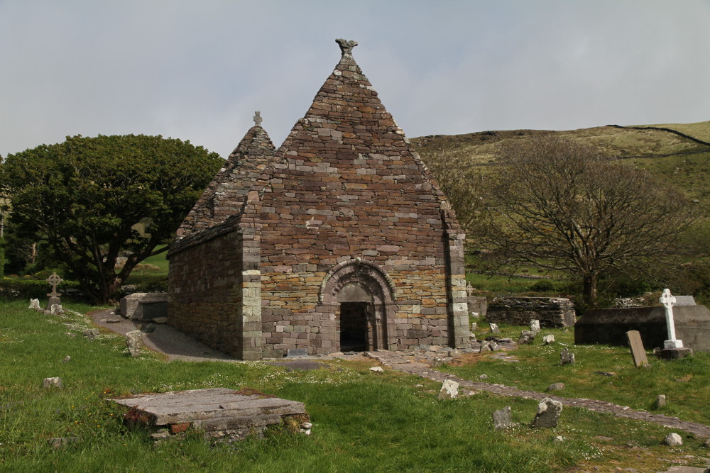 Kilmacowen Church (in Ruins)Church · 1591 yd
 Carrowmore Visitors CentreVisitor information · 1596 yd
 Kiln in BreeogeKiln · 1.3 mi
 CastleCastle, unclassified · 2.0 mi
 St. John's CathedralMemorial · 2.2 mi
 Tobernalt Holy WellSpring · 2.3 mi
 Green IslandIslet · 2.6 mi
 Aghamore BayBay · 2.6 mi
 Bernard's IslandIslet · 2.7 mi