What is recorded here
No name has survived for the place, but the stone still stands seventy metres from its neighbour on the low ground of County Meath. Its pointed top rises one point seven metres above the flat earth, thin enough that a person could stretch both arms around it. The exact purpose has faded, yet the shape suggests marking, warning or remembering.
Located on a fairly level, low-lying landscape. An uprigh stone (dims c. 0.4m NE-SW; c. 0.2m NW-SE; H 1.7m) has a roughly pointed top. Standing stone (ME011-046002-) is c. 70m to the ESE.
Compiled by: Michael Moore
Date of upload: 10 April, 2019
The monument record does not grant public access. Check the route and ask the landowner before entering private land.
- What survives
- Recorded monument
Places near here
 Church (Site of)Church · 773 yd
 BalreaskMountain / peak · 968 yd
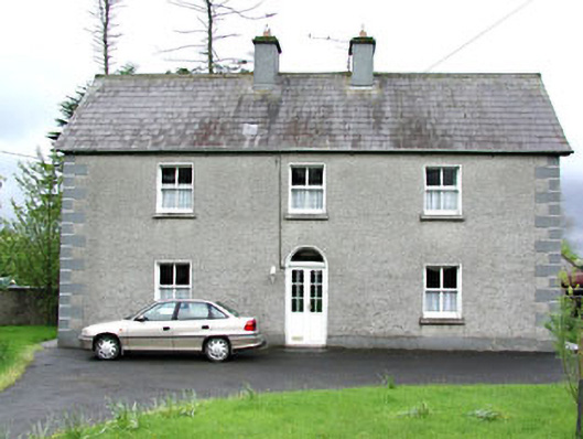 Reask Housefarm house · 1558 yd
 Gravelstown CastleCastle, unclassified · 1606 yd
 John Mac MahonMemorial · 1.0 mi
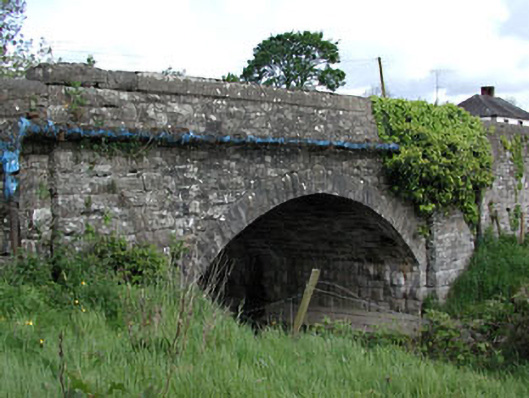 bridgebridge · 1.0 mi
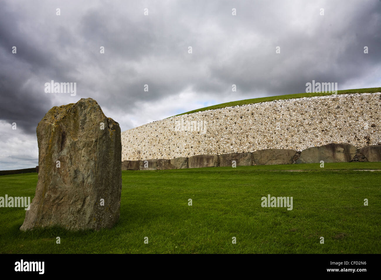 MoundArchaeological place · 1.0 mi
 GravelstownMountain / peak · 1.1 mi
 Rossmeen WoodWood · 1.3 mi
 Oak WoodWood · 1.3 mi
 CastleCastle, ringwork · 1.8 mi
 Owenroe and Moynalty DrainageMemorial · 2.4 mi