What is recorded here
In the E portion of Garryduff cross roads, on the E side of the road running SE. The church of the parish of Kilmacahill (KK021-001001-), no longer visible above ground, and graveyard (KK021-001002-) are located in the SW inner portion of a large bivallate ecclesiastical enclosure. Both the inner (diam. c. 70m) and outer (diam. c. 100m) of this circular enclosure are visible as cropmarks on an aerial photograph (CUCAP BDR052, 18 July 1970) and are also apparent, though less clear, on satellite imagery (Google Earth Pro, imagery date 14 July 2018). The outer enclosure is truncated to the NW by a road and to the SW it continues, though not visible, under the road and into the farmyard to the W.
See attached:
KK021-001003-_01 Google Earth image (imagery date 14 July 2018)
KK021-001003-_02 CUCAP BDR052, 18 July 1970
Compiled by: Jean Farrelly
Date of upload: 31 March 2021
The monument record does not grant public access. Check the route and ask the landowner before entering private land.
- What survives
- Recorded monument
Places near here
 Church in KilmacahillChurch · 24 yd
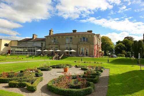 Enclosure in PaulstownEnclosure · 241 yd
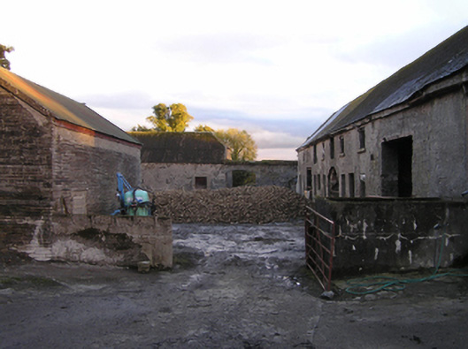 Mountrothe Housefarmyard complex · 822 yd
 IndicatedGraveyard · 1.2 mi
 The Green GardenWood · 1.5 mi
 Site of CastleCastle, unclassified · 2.1 mi
 Freneystown CastleCastle, tower house · 2.7 mi
 Church (in ruins), GraveyardChurch · 3.0 mi
 HawthornHawthorn · 3.6 mi
 Lock Keeper's House and Lodge MillsVisitor information · 4.2 mi
 St. Mogarra’s WellSpring · 4.2 mi
 The Columban WayVisitor information · 4.5 mi