What is recorded here
Located towards the bottom a an E-facing slope on a low NW-SE spur with a small N-S stream c. 130m to the E and a small NW-SE stream c. 240m to the S. A stone-lined cist (dims. c. 1.8m x 0.6m; D 0.6m) but apparently without any human remains or pottery was discovered in ploughing and reported to the National Museum of Ireland in 1934. A sherd of late Medieval pottery was recovered nearby, but the discovery was not investigated further. (SMR file; Cahill and Sikora, 2011, vol. 2, 457-8)
Compiled by: Michael Moore
Date of upload: 15 August, 2012
The monument record does not grant public access. Check the route and ask the landowner before entering private land.
- What survives
- Recorded monument
Places near here
 mill (water)mill (water) · 151 yd
 IndicatedEnclosure · 937 yd
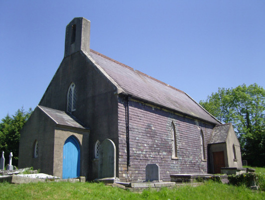 Saint Mary's Church (Old Ross or Saint Mary's)church/chapel · 1270 yd
 Site of CastleCastle, unclassified · 1468 yd
 Old Ross MoteCastle, motte and bailey · 1519 yd
 Fulacht fia in Begerin (lloyd)Fulacht fia · 1691 yd
 Lacken HillMountain / peak · 2.4 mi
 Carrickbyrne HillMountain / peak · 2.4 mi
 Forest Of The DunbrodyForest · 2.5 mi
 Crutched FriarsMemorial · 4.7 mi
 Glenour MonumentMemorial · 4.7 mi
 Devon whitebeamDevon whitebeam · 5.5 mi