What is recorded here
Located in the valley of a SE-NW stream which is c. 80m to the N, and c. 670m SSE of where it joins the N-S River Barrow/Nore. Structure 5 is at the E edge of settlement (WX034-086----), which was excavated by J. Hession in 2010 as part of the N25 New Ross bypass scheme. Structure 5 is 5m E of Structure 4 and is a rectangular area (dims c. 11m N-S; 8m E-W) defined by slot-trenches or gullies (Wth 0.3-0.4m; D 0.12-0.25m). It has few internal features and it may have functioned as a corral for animals. (Hession 2010, 46-8; 2013)
Compiled by: Michael Moore
Date of upload; 7 February, 2013
The monument record does not grant public access. Check the route and ask the landowner before entering private land.
- What survives
- Recorded monument
Places near here
 Fulacht fia in LandscapeFulacht fia · 90 yd
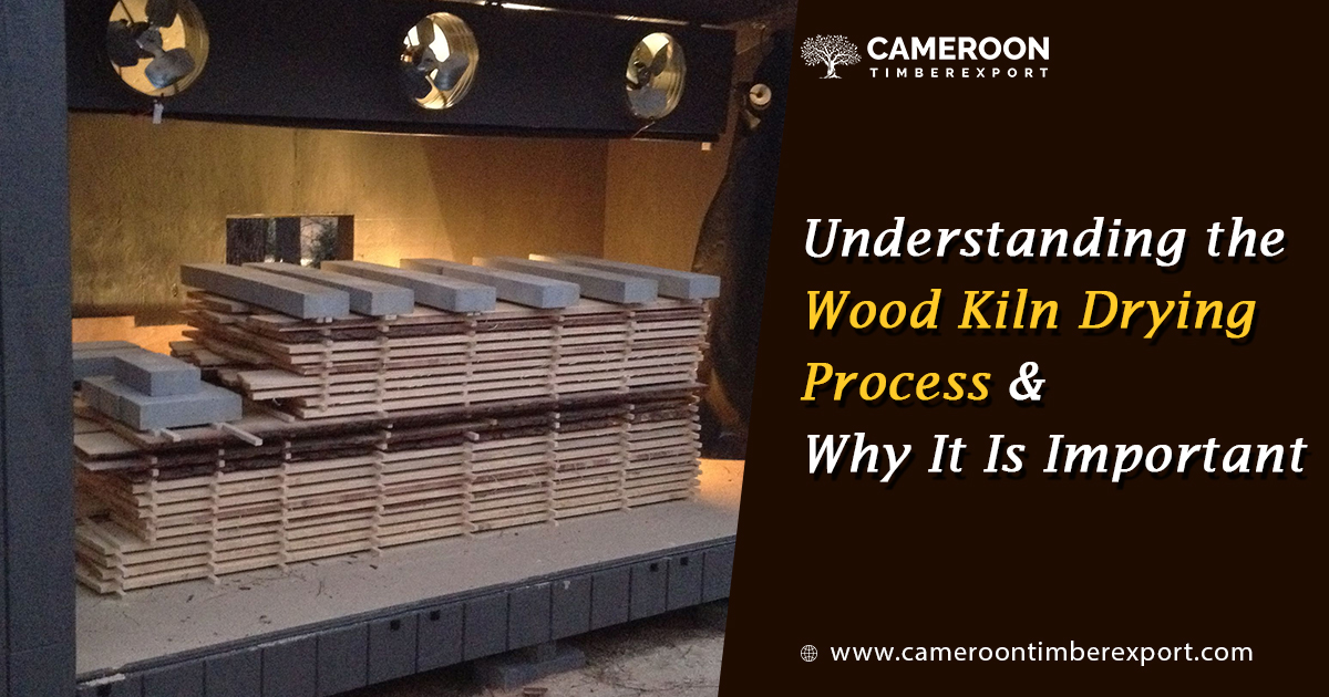 KilnKiln, corn-drying · 208 yd
 Landscape Housefarm house · 530 yd
 Furnace in CamlinFurnace · 663 yd
 Partridge HillMountain / peak · 961 yd
 Camlin HillMountain / peak · 1021 yd
 Armaghs Castle (in Ruins)Castle, tower house · 1516 yd
 site of CastleCastle, unclassified · 1.0 mi
 Kelly's WoodForest · 1.1 mi
 Kennedy HomesteadHeritage attraction · 1.4 mi
 Devon whitebeamDevon whitebeam · 1.5 mi
 Crutched FriarsMemorial · 2.1 mi