What is recorded here
Situated in a coniferous forest, c. 20m from the S bank of the W-E Licky River, and just NE of a section of what might be an ancient road (WA029-045----). This is a kidney-shaped mound of burnt and broken stones (dims. 15m x 10m; H 1.2-1.6m) open to the SSE where there is a second fulacht fia (WA038-060002-) 6m distant.
The above description is derived from the published 'Archaeological Inventory of County Waterford' (Dublin: Stationery Office, 1999). In certain instances the entries have been revised and updated in the light of recent research.
Date of upload/revision: 10th October, 2011
Compiled by: Micahel Moore
The monument record does not grant public access. Check the route and ask the landowner before entering private land.
- What survives
- Recorded monument
Places near here
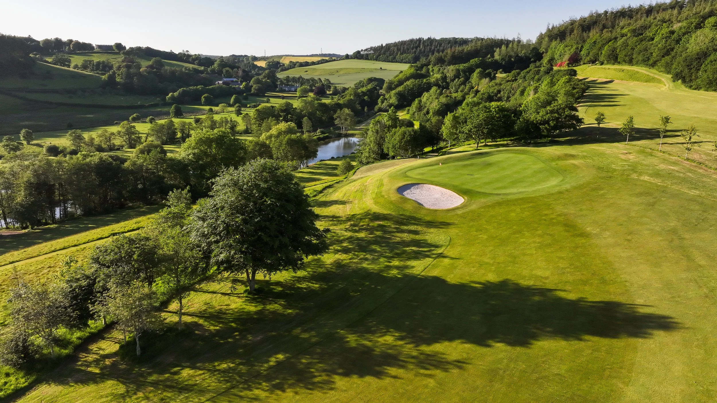 Fulacht fia in Grallagh LowerFulacht fia · 1 yd
 RoadRoad, road/trackway · 653 yd
 Man-made underground passage in Grallagh LowerMan-made underground passage · 957 yd
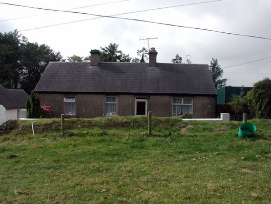 farm housefarm house · 1.1 mi
 Kilmaloo LoughWood · 2.1 mi
 Clashmore Heritage CentreHeritage attraction · 2.2 mi
 Site of CastleCastle, unclassified · 2.6 mi
 D'Loughtane WoodForest · 3.7 mi
 St Bridget's WellSpring · 3.9 mi
 Cabin PointHeadland · 4.1 mi
 Ferry PointViewpoint · 4.3 mi
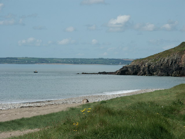 Caliso BayBeach / strand · 4.3 mi