What is recorded here
Situated on level ground c. 80m W of a N-S stream. This is a stone with a rectangular cross-section (dims. 0.8m x 0.35m; H 1.6m) and a rounded top. On field inspection in 1989 this stone, oriented ENE- WSW, was leaning slightly to the NNW. According to Fourwinds (2007) this stone has now fallen over.
The above description is derived from the published 'Archaeological Inventory of County Waterford' (Dublin: Stationery Office, 1999). In certain instances the entries have been revised and updated in the light of recent research.
Compiled by: Michael Moore.
Date of revised upload: 8 November 2016
The monument record does not grant public access. Check the route and ask the landowner before entering private land.
- What survives
- Recorded monument
Places near here
 Burnt mound in KilbarrymeadenBurnt mound · 129 yd
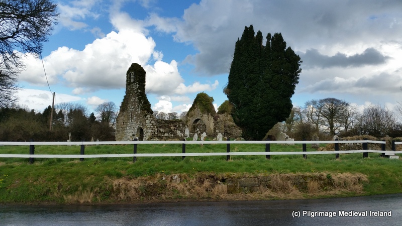 Ritual siteRitual site, holy tree/bush · 161 yd
 St. Bernard's WellSpring · 167 yd
 RoadRoad, hollow-way · 759 yd
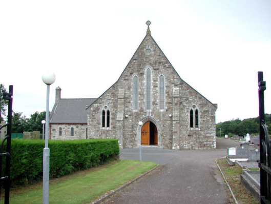 Catholic Church of Our Lady of Mount CarmelOfficially recorded historic building · 1568 yd
 St. Martin's WellSpring · 1.1 mi
 Kilmurrin CoveBeach / strand · 1.7 mi
 Tankardstown 19th Century Copper Mining GeoparkHeritage attraction · 1.7 mi
 Copper CoastCoastal geological landscape · 2.0 mi
 Boatstrand BeachBeach / strand · 2.0 mi
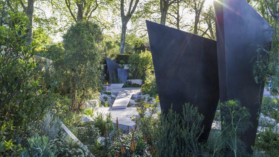 Geological GardenVisitor information · 2.0 mi
 Miners BucketVisitor information · 2.1 mi