What is recorded here
Scotland's National Record of the Historic Environment records Normanby Hall as Motor Vessel (period Unassigned)-(1965), Obstruction (period Unassigned)-(1965). The official map says its point is accurate as follows: NGR given to the nearest 1m. The record does not by itself mean that the public may enter the place.
The historic-place record does not grant public access. Check current conditions and ownership before entering land or a building.
Places near here
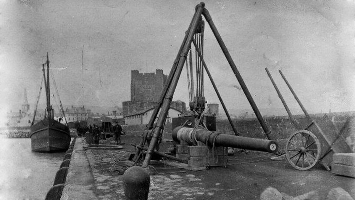 ENCLOSURE in KilrootENCLOSURE · 1525 yd
 White HarbourHarbour/ Pier · 1.2 mi
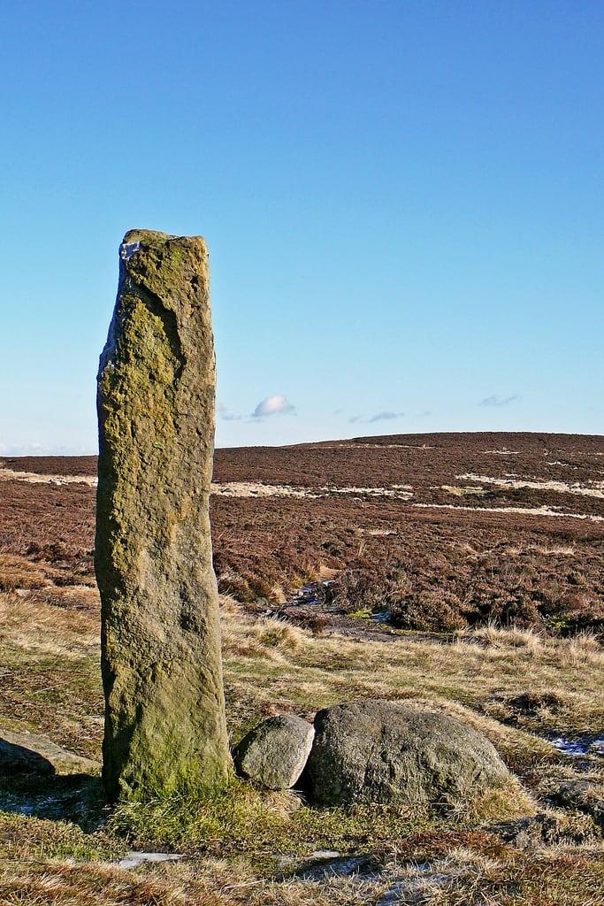 HENGE (?) or HENGIFORM ENCLOSURE (?) (Possible) in DobbslandHENGE (?) or HENGIFORM ENCLOSURE (?) (Possible) · 1.7 mi
 St Patrick's Church of IrelandChurch · 2.0 mi
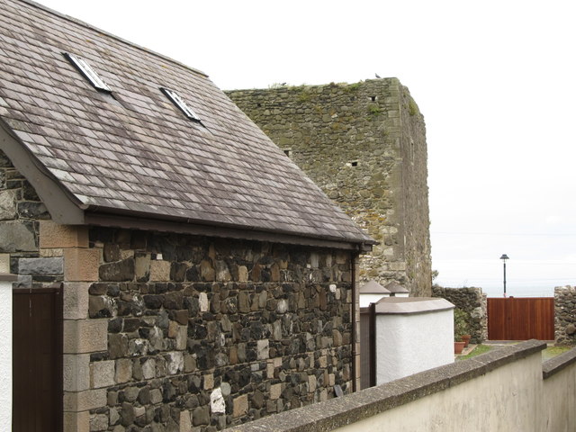 TOWER-HOUSE: CASTLE CHICHESTER in White HeadTOWER-HOUSE: CASTLE CHICHESTER · 2.2 mi
 Andrew Jackson Cottage and US Rangers CentreHeritage attraction · 2.3 mi
 FORTIFICATIONFORTIFICATION, BAWN · 3.2 mi
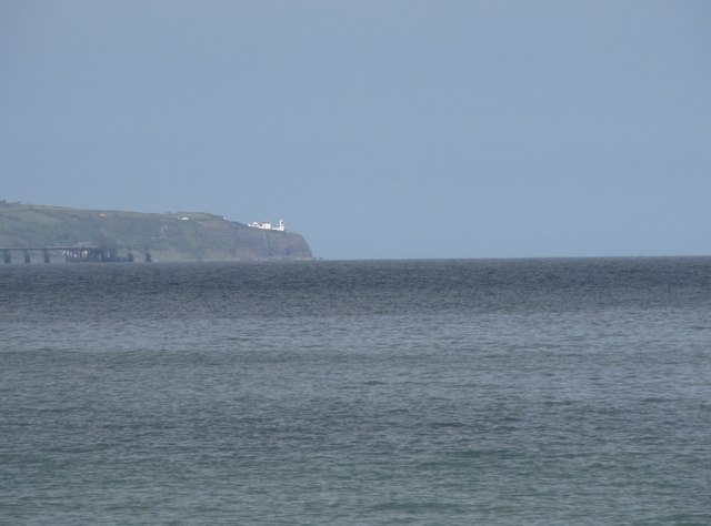 BlackheadHeadland · 3.2 mi
 Carrickfergus MuseumMuseum · 3.2 mi
 POST-MED CHURCH; MEDIEVAL PARISH CHURCH; GRAVEYARD: TEMPLECORRAN CHURCH or TEMPLE-I-CORRAN or LISLAYNAN in Forthill (ballycarry)POST-MED CHURCH; MEDIEVAL PARISH CHURCH; GRAVEYARD: TEMPLECORRAN CHURCH or TEMPLE-I-CORRAN or LISLAYNAN · 3.3 mi
 US RangersMemorial · 3.3 mi
 Muldersleigh HillMountain / peak · 3.3 mi