
What is recorded here
Newchurch Ringfort stands in County Kilkenny as a rath, marking the kind of fortified life that shaped the Irish countryside long before modern boundaries. Its earthworks suggest a household or cluster of people who valued defensibility, visibility, and control of local movement. The name ties the fort to a church settlement, hinting that worship, residence, and power once occupied the same small landscape.
Newchurch Ringfort (rath) is recorded as a archaeological place in County Kilkenny. Its open map record supplies this location and any linked names or public references.
Places near here
 Ritual siteRitual site, pond · 554 yd
 Ballygowan (Posonby) RingfortArchaeological place · 579 yd
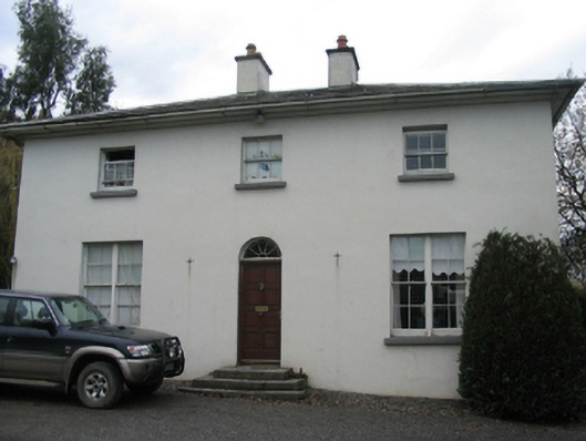 rectory/glebe/vicarage/curate's houserectory/glebe/vicarage/curate's house · 1.0 mi
 farmyard complexfarmyard complex · 1.1 mi
 Castle (in Ruins)Castle, tower house · 1.7 mi
 Currahill Castle (in ruins)Castle, tower house · 1.7 mi
 Brawder's Family BlacksmithHeritage attraction · 2.1 mi
 Kilmacoliver/ Tullahought School 1876-1973Visitor information · 2.3 mi
 Irish Republic 1916-2016Memorial · 2.4 mi
 Castlemorris WoodForest · 2.4 mi
 Castlemorris Pheasant LoopWalking route · 2.4 mi
 Woodland LoopWalking route · 2.7 mi
Other information
Photo: Credit not shown in the picture search · Rights wording not checked; contact us if this picture should be removed