
What is recorded here
Newchurch Ringfort stands in County Kilkenny as a rath, marking the kind of fortified life that shaped the Irish countryside long before modern borders. Its earthworks suggest a place where people gathered, defended themselves and continued daily routines under open skies. The name Newchurch hints at later Christian presence nearby, while the ringfort itself belongs to an older rhythm of settlement and survival. Together they remind us that progress often layers rather than replaces, and that human ambition keeps returning to the same ground in new shapes.
Newchurch Ringfort (rath) is recorded as a archaeological place in County Kilkenny. Its open map record supplies this location and any linked names or public references.
Places near here
 Newchurch Ringfort (rath)Archaeological place · 194 yd
 Ballygowan (Posonby) RingfortArchaeological place · 469 yd
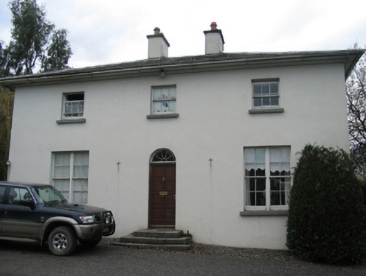 rectory/glebe/vicarage/curate's houserectory/glebe/vicarage/curate's house · 1.1 mi
 Saint Eoghan's Catholic Churchchurch/chapel · 1.2 mi
 Castle (in Ruins)Castle, tower house · 1.8 mi
 Currahill Castle (in ruins)Castle, tower house · 1.8 mi
 Brawder's Family BlacksmithHeritage attraction · 2.1 mi
 Kilmacoliver/ Tullahought School 1876-1973Visitor information · 2.2 mi
 Irish Republic 1916-2016Memorial · 2.3 mi
 Castlemorris WoodForest · 2.4 mi
 Castlemorris Pheasant LoopWalking route · 2.5 mi
 Woodland LoopWalking route · 2.6 mi
Other information
Photo: Credit not shown in the picture search · Rights wording not checked; contact us if this picture should be removed