What is recorded here
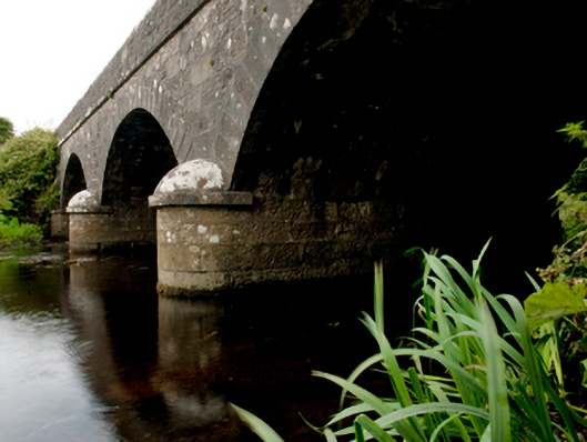
Three-arch road bridge over river, dated 184-; extant 1896. Tuck pointed snecked limestone walls centred on tooled limestone ashlar rounded triangular cutwaters to piers having domed pyramidal capping with cut-limestone stringcourses supporting parapets having lichen-covered hammered limestone rounded coping centred on benchmark-inscribed date stone ("184-"). Series of three segmental arches with drag edged tooled limestone ashlar voussoirs. Sited spanning Ballinglen River with unkempt banks to river.
A bridge representing an integral component of the mid nineteenth-century civil engineering heritage of the outskirts of Ballycastle with the architectural value of the composition, one evoking favourable comparisons with the contemporary Killerduff Bridge (184-) nearby (see 31300704), confirmed not only by the "sparrow pecked" sheer limestone dressings demonstrating good quality workmanship, but also by the elegant "sweep" of the arches making a pleasing visual statement at a crossing over the Ballinglen River: meanwhile, a much-weathered benchmark remains of additional interest for the connections with cartography and the preparation of maps by the Ordnance Survey (established 1824).
This does not grant access. Most recorded buildings are privately owned; view them only from public ground unless the owner allows entry.
Places near here
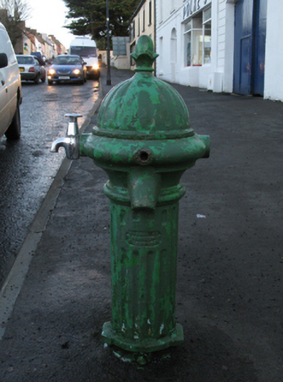 water pumpwater pump · 931 yd
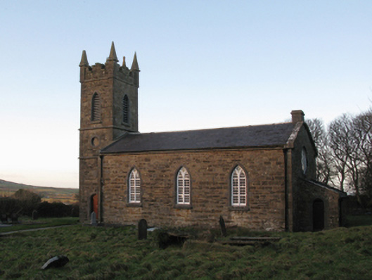 Saint John's Church (Doonfeeny)church/chapel · 949 yd
 indicatedFairy fort / stone ringfort · 980 yd
 Enclosure in KillerduffEnclosure · 1168 yd
 Ballycastle BeachBeach / strand · 1168 yd
 Castle (in ruins)Castle, tower house · 1.9 mi
 BlowholeCliff · 2.7 mi
 Lisheen Grave YardArchaeological place · 2.9 mi
 WW2 Éire MarkerHeritage attraction · 3.2 mi
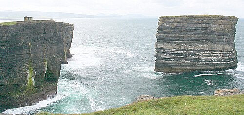 Downpatrick HeadHeadland · 3.2 mi
 PollatarriveCliff · 3.4 mi
 Céide Fields Visitor CentreVisitor information · 3.4 mi
Other information
Photo: National Inventory of Architectural Heritage · Website use allowed for educational or private purposes with source credit