What is recorded here
Scotland's National Record of the Historic Environment records Neotsfield as Steamship (period Unassigned)-(1918). The official map says its point is accurate as follows: NGR given to the nearest 1m. The record does not by itself mean that the public may enter the place.
The *Neotsfield* was a steamship built in 1918; it sank in 1918 during World War I, likely due to enemy action, with no survivors and no cargo recovered. Its loss is significant as it represents an early wartime casualty of Scottish maritime trade.
The historic-place record does not grant public access. Check current conditions and ownership before entering land or a building.
Places near here
 Burial IslandIslet · 3.1 mi
 Burr PointHeadland · 3.2 mi
_-_geograph.org.uk_-_1509878.jpg?width=1280) Non-subscribing Presbyterian ChurchChurch · 4.3 mi
Non-subscribing Presbyterian ChurchChurch · 4.3 mi Windmill HillMountain / peak · 4.3 mi
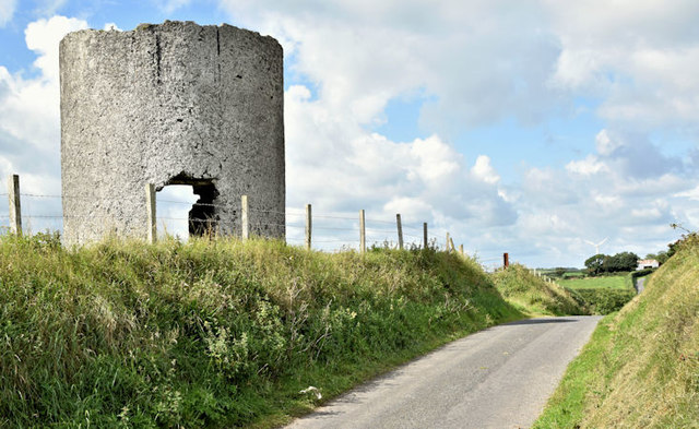 Windmill StumpWindmill Stump, cf IHR 2800 · 4.4 mi
 MEDIEVAL CHURCH and GRAVEYARD; with 3 C13TH COFFIN LIDS: BALLYWALTER OLD CHURCH; WHITE CHURCH in BallywalterMEDIEVAL CHURCH and GRAVEYARD; with 3 C13TH COFFIN LIDS: BALLYWALTER OLD CHURCH; WHITE CHURCH · 4.5 mi
 ENCLOSURE (RATH?) in BallyferisENCLOSURE (RATH?) · 4.6 mi
 Glastry Presbyterian ChurchChurch · 4.9 mi
 PLANTATION HOUSE & BAWN in InishargyPLANTATION HOUSE & BAWN · 5.6 mi
 The Echlinville DistilleryHeritage attraction · 6.4 mi
 Kirkistown CastleCastle · 6.5 mi
 Monaghan BankMountain / peak · 6.8 mi