What is recorded here
The official Northern Ireland record identifies this as NEOLITHIC OCCUPATION SITE. Recorded period: NEOLITHIC; PREHISTORIC. The official map point was placed at the centre of the recorded archaeological site from the source map reference.
The monument record does not grant public access. Check the route and ask the landowner before entering private land.
- What survives
- Recorded monument
Places near here
 CHURCH: KILLPATRICK OF MALONECHURCH: KILLPATRICK OF MALONE, THIS IS ANT 061:006 · 679 yd
 FORTIFIED HOUSE & ?BAWN (unlocated): MOSES HILL'S HOUSE in Malone LowerFORTIFIED HOUSE & ?BAWN (unlocated): MOSES HILL'S HOUSE · 825 yd
 Riddel HallHouse · 862 yd
 CHURCH SITE (unlocated): CAPELLA DE CROOCKMOCK, CRAMAGH, CRANOGE in Malone LowerCHURCH SITE (unlocated): CAPELLA DE CROOCKMOCK, CRAMAGH, CRANOGE · 979 yd
 CHURCH SITE: FRIAR'S BUSH, CAPELLA DE KILPATRICK in Malone LowerCHURCH SITE: FRIAR'S BUSH, CAPELLA DE KILPATRICK · 1163 yd
 Ulster MuseumMuseum · 1202 yd
 Lord Kelvin's StatueHeritage attraction · 1238 yd
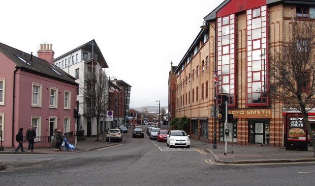 Sandy RowVisitor information · 1.0 mi
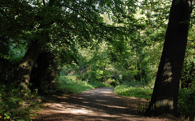 Lagan MeadowsNature reserve · 1.1 mi
 Rose & Crown Bar bombingbomb attack · 1.2 mi
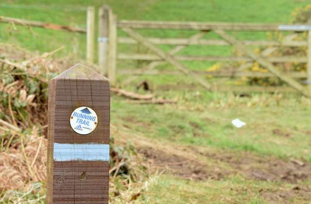 Lagan TrailWalking route · 1.3 mi
 Belvoir Park ForestForest · 1.4 mi