What is recorded here
The following description is derived from both the published 'Archaeological Inventory of County Louth' (Dublin: Stationery Office, 1986) and the 'Archaeological Survey of County Louth' (Dublin: Stationery Office, 1991). In certain instances the entries have been revised and updated in the light of recent research.
Date of upload/revision: 17 July 2007
Situated on top of ridge in drumlin landscape. Sub-circular, flat-topped mound (max. dims. 14.4m N-S, 11.5m E-W, H 0.8m). There are traces of a circle of kerb stones 1m inside the edge of the mound. The mound material has spread beyond the kerb stones, giving an irregular shape to the barrow.
A ringfort, likely dating to the Early Medieval period (c. 500–1000 AD), Murrays Fort is significant as a common type of defended homestead in Ireland, reflecting early agricultural and social organisation in the region.
The monument record does not grant public access. Check the route and ask the landowner before entering private land.
- What survives
- Recorded monument
Places near here
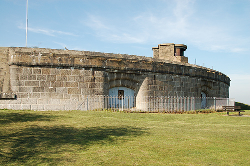 Murray's FortArchaeological place · 10 yd
 Crinnians FortArchaeological place · 471 yd
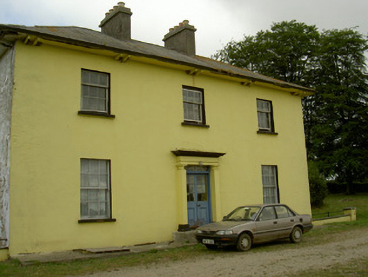 Tullakeel Househouse · 937 yd
 The MountCastle, motte and bailey · 1509 yd
 Matthew's HillMountain / peak · 1.1 mi
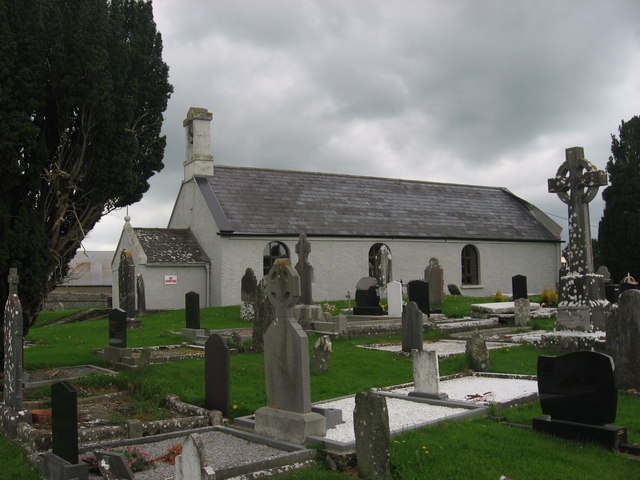 St. Medocs ChurchChurch · 1.3 mi
 MoatCastle, motte · 1.4 mi
 Flat cemetery in AnnaheanFlat cemetery · 2.2 mi
 Yellow HillMountain / peak · 2.6 mi
 Tree IslandWood · 3.0 mi
 Long PlantationForest · 4.3 mi
 Sir Frederick Foster MemorialMemorial · 4.8 mi