What is recorded here
Buttevant's Tower stood as a square ruin beside the Liffey until Essex Gate replaced it in 1675. The name suggests a forward position without a return wall, creating an open defensive line along the water. Men leased the structure for life or decades, promising repairs and clean lanes in exchange for shelter. The tower gave way to a gate, erasing its outline but preserving the function of the place.
Buttevant's Tower (Essex gate). According to the Historic Atlas of Dublin City; 'On the eastern side, the name of the most forward tower Buttevant (French butte avant), suggests that this defensive structure jutted outwards in the direction of the Liffey without any return wall along the river frontage, which may have served as an Hiberno-Norse quayside (Clarke 2002, 6). Around the year 1260 the Dublin White Book recorded a grant to William Picot, Clerk of the City which included the; 'tower which is called Butauant [Buttevant], situated upon the bank near Isolda's Gate, together with all their land adjacent between the street through which the passage is from the gate of the aforesaid Ysolda's [Isolde] Tower [DU018-020017-] towards the church of St. Olave [DU018-020087-], and extending from the street as far as the new wall, towards the water of Auenlyf [Liffey]. To be held, with the appurtenances and the easement of the wall of the city, both on the east and on the north. Reservation of ingress and egress. To render yearly to the Mayor of the city, for the time being, one pair of gilt spurs on Easter Day' (CARD Vol. 1, 93). In 1563 the Dublin Assembly Roll recorded an agreement that; 'John Money, belman, shall have the towre besowth [beside] Isoldes [DU018-020017-], and he to buylde the same with a rowfe of oke, sclats or bordes, and he to have the same during his lyfe, and he to kepe the lane cleane which is ioyninge to the same' (CARD Vol. 2, 32). In 1574 the Dublin Assembly Roll recorded that; 'Robert Byce, gentleman, shall have a lease for terme of lx. and one yeares upon the towre over the Dammes gate [DU018-020028-], Buttevantes towre, and the bulwark betwixt bothe the said towres, paing yearely to this citie the som of vi.s. viii.d. Irishe, and that he shall performe all such covenauntes, condicions and clauses as shalbe comprised in the said lease for houylding and reparacion of the said towres' (CARD Vol. 2, 93).
This tower on the city walls was described in 1585 as follows; ' From Issoldes towre [DU018-020017-] to an olde towre, caled Buttevantes towre, is 106 foote [32m] distant, the wall 22 foote [6.7m] hie in the owtsyde, and 5 foote [1.5m] thicke, and firme grounde within the said wall 12 foote [3.65m] hie from the chanell with owt, so the grounde within is within 10 foote [3m] as hie as the said wall. The said Buttevantes towre is an ould sqware ruenus [ruinous] towre, with one vawt [vault], and the wall 4 foote [1.2m] thicke, 30 foote [9m] hie from the chanell, and 12 foote [3.65m] sqware within the walles, and the grounde 8 foote [2.4m] hie within the said towre from the chanell. From Buttevantes towre to the rounde halfe towre adjoyninge to Mr. Robert Bise [h]is howse [DU018-020019-] is 188 foote [57m] distant, the wall and grounde within agreing in height and thicknis as the other parte of the wall befor' (CARD Vol. 2, 556).
Tower was described in the Urban Survey of Dublin City as follows; 'In 1585 this was described as an old square ruinous tower with one vault. it was located some 35 yards from Isolde's tower. it was granted in the thirteenth century to William Picot. It was demolished in 1675 when Essex Gate was constructed (Healy 1973, 21)' (Bradley and King 1987, Vo. 1, 53). Part of the N wall (int. dims. H 9.37m, Wth 3.75m, T 1.25m) was excavated (Simpson 1994, 107-08; De Courcy 1996, 60). Marker plaque 2002 (Clarke 2002, 21). The 1892 edition of the Ordnance Survey map of sheet 57 for Dublin City annotated this site as 'Essex Gate' 'Site of Izod's Tower. No surface remains visible.
See attached section of OS sheet 57 for Dublin City
Compiled by: Caimin O'Brien
Date of upload: 10 July 2023
The monument record does not grant public access. Check the route and ask the landowner before entering private land.
- What survives
- Recorded monument
Places near here
 The Czech Innhouse · 10 yd
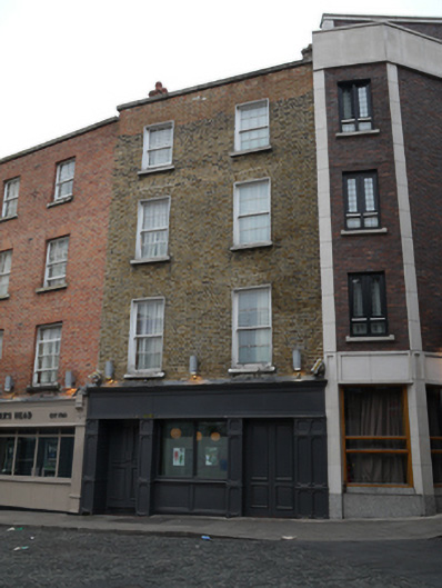 Turks Head Chop House / Paramount Hotelhouse · 17 yd
 Newcomen BankVisitor information · 108 yd
 Dublin City HallHeritage attraction · 133 yd
 Tourist Information CentreVisitor information · 152 yd
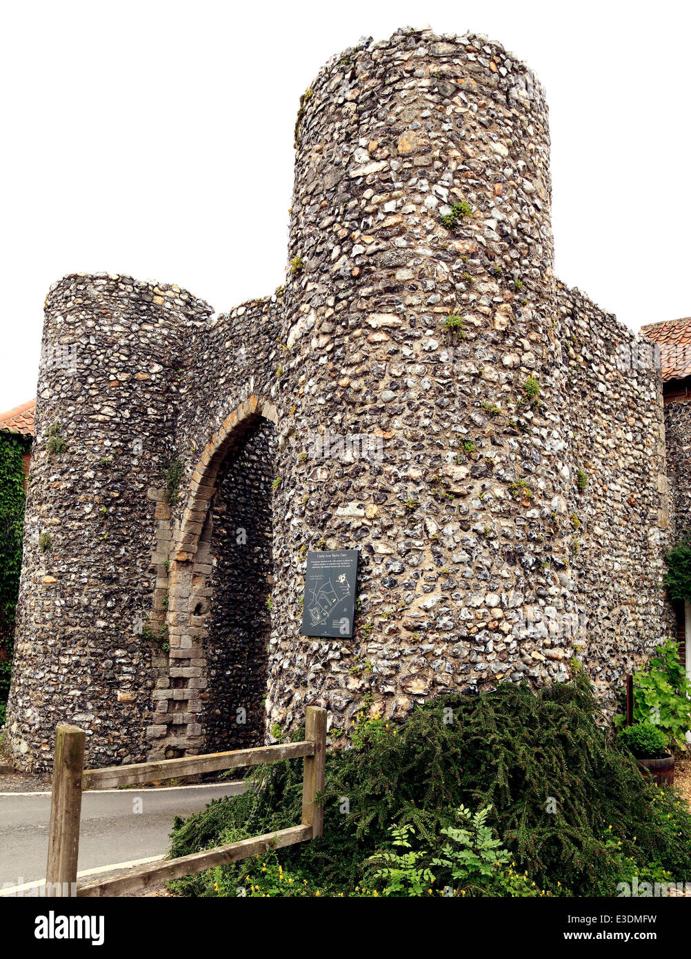 Town defences in Unknown TownlandTown defences · 199 yd
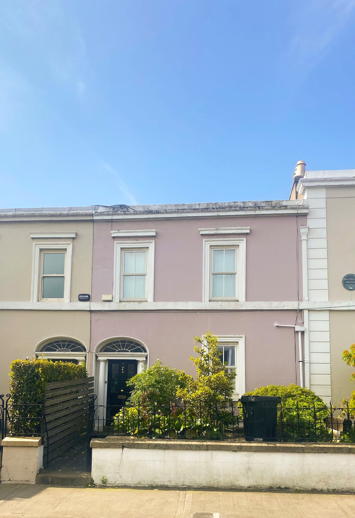 Ecclesiastical residence in Unknown TownlandEcclesiastical residence · 207 yd
 CastleCastle, Anglo-Norman masonry castle · 210 yd
 Dublin Castlegates/railings/walls · 252 yd
 John FieldMemorial · 269 yd
 St. Michael's le Pale Church YardMemorial · 374 yd
 Bigleaf MapleBigleaf Maple · 821 yd