What is recorded here
Muntermellan Stone Ringfort holds two ruined stone circles, the larger fifteen metres across and the smaller ten, joined like a mother and child at the base of a rock-strewn hill. The main enclosure still hides a five-metre square foundation beneath grass, suggesting a building stood there before the wall collapsed. People may have lived, herded or worshipped inside these stones while Sheephaven Bay glittered below, but the fort has kept that much to itself.
Internal diam. c. 15m. A subcircular area enclosed by a ruined stone wall. It is adjoined on the S by a smaller subcircular space c. 10m in diameter also surrounded by a ruined stone wall. The wall seems to have been originally 1.4m in width. There is a 5m square foundation (DG015-014002-) in the interior of the main enclosure, defined by a grass-covered disturbed wall. The site is located at the base of a rock-strewn hill to its N, in rough pasture, with better land on the lower levels towards Sheephaven Bay.
The above description was derived from the 'Archaeological Survey of County Donegal. A description of the field antiquities of the County from the Mesolithic Period to the 17th century.' Compiled by: Brian Lacey with Eamon Cody, Claire Cotter, Judy Cuppage, Noel Dunne, Vincent Hurley, Celie O'Rahilly, Paul Walsh and Seán Ó Nualláin (Lifford: Donegal County Council, 1983). In certain instances the entries have been revised and updated.
Date of upload: 22 September 2008
The monument record does not grant public access. Check the route and ask the landowner before entering private land.
- What survives
- Recorded monument
Places near here
 Former Doongonaway EnclosureEnclosure · 858 yd
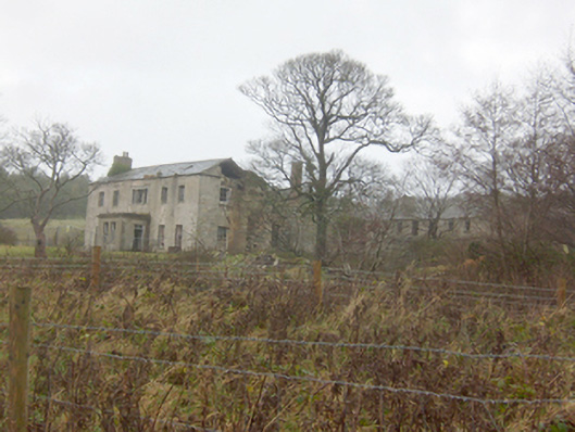 Horn Head Housecountry house · 1297 yd
 Castle (Site of)Castle, unclassified · 1311 yd
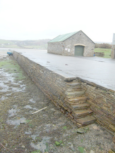 Dunfanaghy Pierpier/jetty · 1338 yd
 Lockheed Hudson bomber 1942Memorial · 1528 yd
 Claggan Stone RingfortFairy fort / stone ringfort · 1573 yd
 KillahoeyOfficial bathing water · 1637 yd
 CrocksheeMountain / peak · 1677 yd
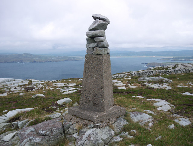 CroaghnamaddyMountain / peak · 1.1 mi
 Kill Old Church GraveyardGraveyard · 1.2 mi
 Trá Phoill a GhuillBeach / strand · 1.7 mi
 Mc Swynes CastleCastle, unclassified · 1.8 mi