What is recorded here
The Moate in Dorsy holds several burial chambers beneath one broad mound, marking it as a rare multiple cist cairn from the Bronze Age. It is a scheduled ancient place where several lines of death and memory crossed instead of one lonely grave. The name The Moate suggests a hollow or basin, fitting a mound that may have risen around a depression rather than a flat field. People may have returned there across generations, adding stones and bodies until the hill itself became a living archive of loss.
The official Northern Ireland record identifies this as MULTIPLE CIST CAIRN: THE MOATE. Recorded period: BRONZE AGE; PREHISTORIC. Recorded protection: Scheduled. The official map point was placed at the centre of the recorded archaeological site from the source map reference.
Multiple cist cairn, Bronze Age; Prehistoric. This site is significant as a scheduled monument, indicating its archaeological importance in the regional prehistoric landscape.
The monument record does not grant public access. Check the route and ask the landowner before entering private land.
- What survives
- Recorded monument
Places near here
 ENCLOSURE in FiniskinENCLOSURE · 1331 yd
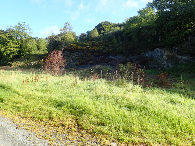 Aughanduff Upper MountainMountain / peak · 1434 yd
 Ummeracam BridgeBridge · 1722 yd
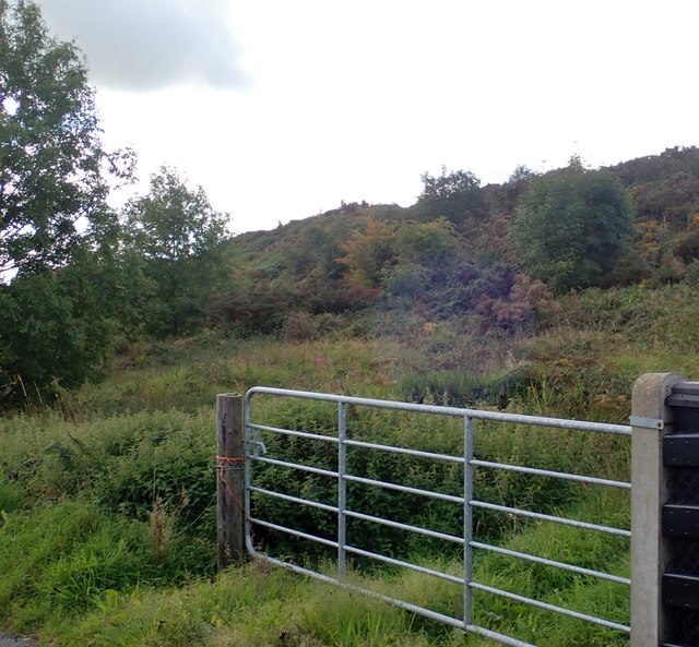 Aughanduff Lower MountainMountain / peak · 1.1 mi
 ENCLOSURE?: FORT FIELD in Dorsy OR RoxboroughENCLOSURE?: FORT FIELD · 1.2 mi
 Operation Conservationmilitary operation · 1.7 mi
 Creggan Freeduff Presbyterian ChurchChurch · 2.1 mi
 Irish Hunger StrikersMemorial · 2.6 mi
 MEDIEVAL & POST-MED. CHURCH & GRAVEYARD in Creggan Bane GlebeMEDIEVAL & POST-MED. CHURCH & GRAVEYARD · 3.9 mi
 The Black Castle Chambered GraveArchaeological place · 3.9 mi
 Tullyvallen Orange Hall massacremassacre · 3.9 mi
 Mass Rock Loop TrailWalking route · 4.0 mi