
What is recorded here
Errigal Keerogue in County Tyrone holds a multiperiod church and graveyard where carved stones, a cross and a sheela-na-gig still mark the ground. The site spans early Christian and medieval times, suggesting worship and burial continued long after the first cuts entered the stone. The sheela-na-gig watches with open shamelessness while the cross reaches upward, creating a strange tension between bodily exposure and spiritual aspiration. People may have come there to pray, bury their dead and confront the raw facts of life and death beneath one sky.
The official Northern Ireland record identifies this as MULTIPERIOD CHURCH & GRAVEYARD with CARVED STONES, CROSS & SHEELA-NA-GIG: ERRIGAL KEEROGUE. Recorded period: E.CHRIST.; MED/L.MED. Recorded protection: State Care. The official map point was placed at the centre of the recorded archaeological site from the source map reference.
The monument record does not grant public access. Check the route and ask the landowner before entering private land.
- What survives
- Recorded monument
Places near here
 HOLY WELL: ST KIERAN'S WELL in GortHOLY WELL: ST KIERAN'S WELL · 99 yd
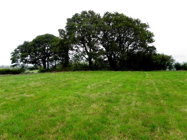 RATH in ErrigalRATH · 740 yd
 Cleanally Corn MillMill · 1407 yd
 FRANCISCAN FRIARY, ROUND TOWER, CHURCH, GRAVEYARD & 2 FONTS: BALLYNASAGGART in BallynasaggartFRANCISCAN FRIARY, ROUND TOWER, CHURCH, GRAVEYARD & 2 FONTS: BALLYNASAGGART · 1538 yd
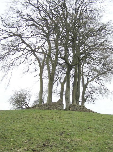 GRAVEYARD in GlenchuilGRAVEYARD · 1.3 mi
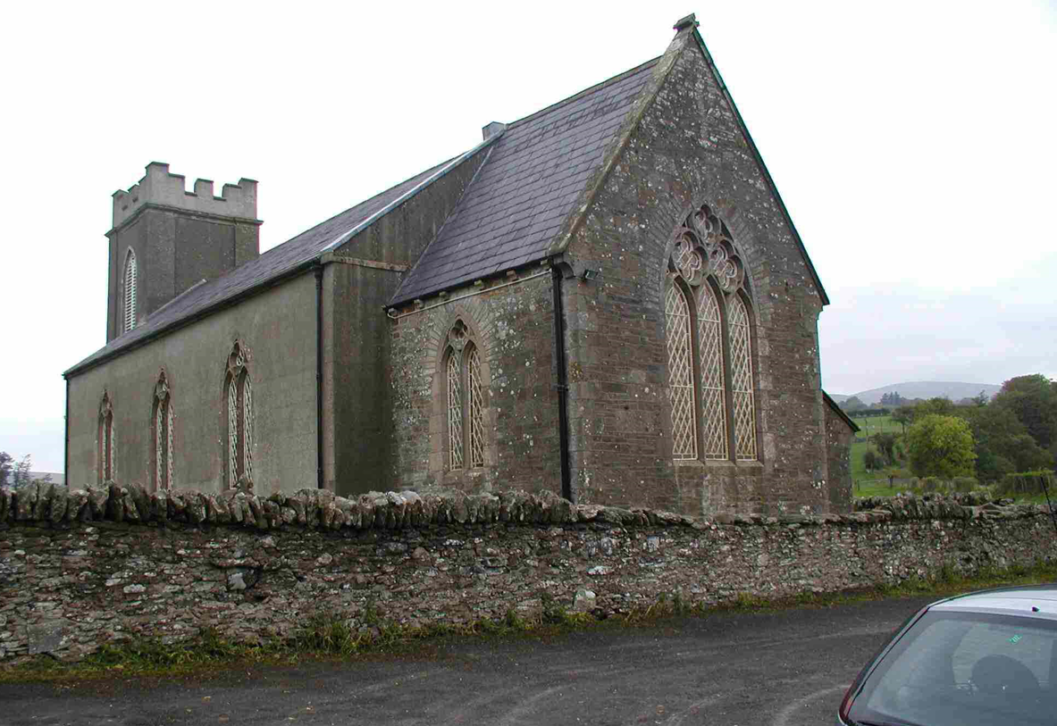 CHURCH (unlocated) in Cavey (possible); Richmond (possible)CHURCH (unlocated) · 1.5 mi
 Planting LineForest · 2.4 mi
 KnockmanyArchaeological place · 2.5 mi
 Beltany HillMountain / peak · 2.7 mi
 Knockmany ForestForest · 2.7 mi
 SlievemoreMountain / peak · 2.9 mi
 Carleton's CottageHeritage attraction · 3.5 mi
Other information
Photo: Kenneth Allen · Creative Commons Attribution-ShareAlike 2.0