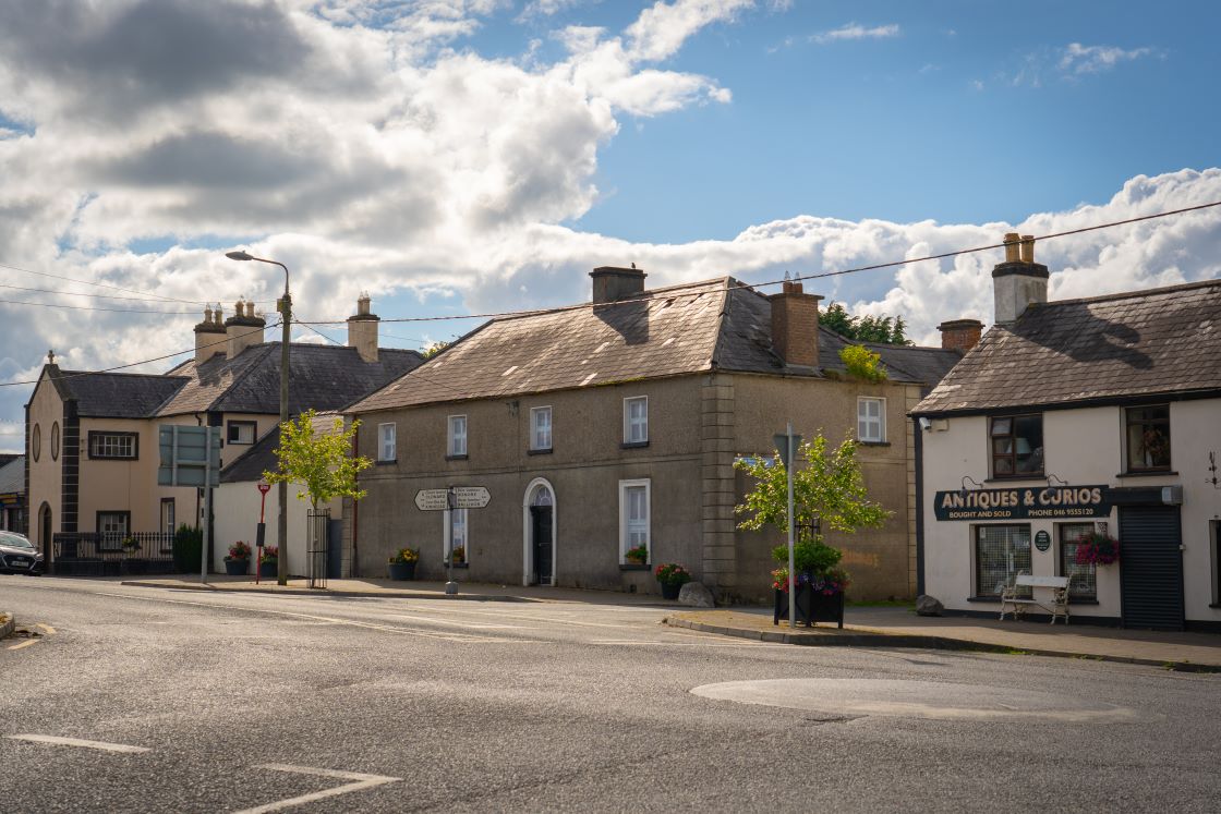
What is recorded here
Situated on a fairly level landscape. This is represented as a large circular embanked enclosure (ext. diam. c. 65) abutting a N-S field bank at E on the 1836 edition of the OS 6-inch map where it is described as ‘Muckerstown Fort’ in gothic lettering and as a more irregularly shaped hachured feature on the 1908 edition. This is a D-shaped grass-covered area (dims 42.5m NNW-SSE; 34m WNW-ESE) defined by an earthen bank (Wth of base 8-9m; int. H 0.4m at NNW to 0.7m at SSE; ext. H 1.3-1.4m), and an outer fosse best preserved (Wth of top 7m; Wth of base 1.5m; ext. H 0.4m) SE-SW. The straight side (L 40m) is at W and topsoil may have been removed from parts of the interior. There are gaps in the bank at NE (Wth 5.7m), S (Wth 4.3m) and WSW (Wth 2.3m). (Feeley 2001, 57-8, No. 56)
The above description is derived from the published 'Archaeological Inventory of County Meath' (Dublin: Stationery Office, 1987). In certain instances the entries have been revised and updated in the light of recent research.
Compiled by: Michael Moore
Date of upload: 10 July 2007
Amended: 17 December 2021
A local fairy fort (ringfort/rath); wider significance not recorded.
The monument record does not grant public access. Check the route and ask the landowner before entering private land.
- What survives
- Recorded monument
Places near here
 Enclosure in Fleenstown GreatEnclosure · 1093 yd
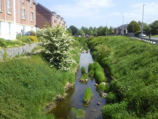 IndicatedChurchyard · 1305 yd
 Church (in Ruins)Church · 1598 yd
 Kilbride MoatCastle, motte · 1.1 mi
 CastleCastle, motte · 1.4 mi
 AshbourneMemorial · 1.7 mi
 Wesley's WoodsWood · 1.8 mi
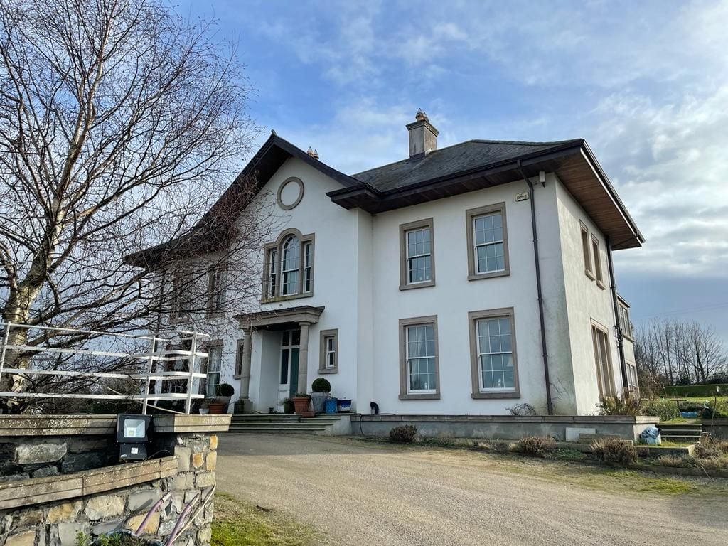 Kilcoskan HouseHouse, 16th/17th century · 2.7 mi
 Wooly Ward's FarmHeritage attraction · 2.9 mi
 Graveyard in KillosseryGraveyard · 3.6 mi
 Cornstown HouseHeritage attraction · 3.8 mi
 TyrrelstownWood · 3.9 mi
Other information
Photo: Credit not shown in the picture search · Rights wording not checked; contact us if this picture should be removed