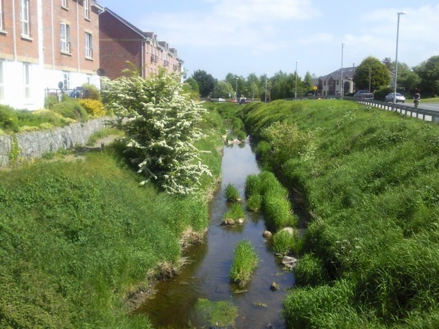
What is recorded here
Located on the NE-facing slope of a low ridge known as Chapel Hill. The church (ME045-015----) is within a subrectangular enclosure (dims 33m E-W; c. 75m NNW-SSE) defined by scarps (H 0.1m at S to c. 0.5m) but there is no evidence of burial. Nor is there any evidence of or local knowledge of a possible Man-made underground passage (Feely 2001, 41-5) which may have been a water-course and there is a closed sink-hole inside the enclosure at S.
Compiled by: Michael Moore
Date of upload: 11 September, 2015
A local church or high cross; wider significance not recorded.
The monument record does not grant public access. Check the route and ask the landowner before entering private land.
- What survives
- Recorded monument
Places near here
 Enclosure in Fleenstown LittleEnclosure · 702 yd
 Enclosure in Fleenstown GreatEnclosure · 1297 yd
 CastleCastle, motte · 1426 yd
 AshbourneMemorial · 1674 yd
 Church (in Ruins)Church · 1.6 mi
 Kilbride MoatCastle, motte · 1.8 mi
 Ashbourne Parish Hallschool · 2.0 mi
 Wooly Ward's FarmHeritage attraction · 2.4 mi
 Wesley's WoodsWood · 2.5 mi
 Cornstown HouseHeritage attraction · 3.1 mi
 Graveyard in KillosseryGraveyard · 3.5 mi
 TyrrelstownWood · 4.6 mi
Other information
Photo: Credit not shown in the picture search · Rights wording not checked; contact us if this picture should be removed