What is recorded here
Situated at the W edge of a small N-S valley, with the stream c. 30m to the E, and the site of the parish church of Moyglare (ME049A002----) is c. 150m to the S. According to the Civil Survey (1654-6) Sir George Wentworth, a Protestant, owned 487 acres at Moyglare in 1640, and on the property were ‘a large stone house, a Mill, a pigeon house and two farme houses’ (Simington 1940, 153). He also owned almost 1100 acres elsewhere in the parish, amounting to almost all of it (ibid. 153-6). Fragments of the NW (L 6.65m plus; T 1.05m) and SE (L 4m plus; T 1m) walls placed 3.5m apart survive to the first floor, but there is no indication of vaulting. The remnants of the NE wall have traces of a base-batter and there is a fireplace in the NW wall at the first floor, which is recessed to support the floor, but at the second floor the joists were set into the wall. Just N of the masonry remains is a raised platform (dims of top 9m E-W; 8m N-S; max. H 1m at N), and a scarp (L 26m; H up to 1.5m) extends S from the masonry remains with some stone exposed.
The above description is derived from the published 'Archaeological Inventory of County Meath' (Dublin: Stationery Office, 1987). In certain instances the entries have been revised and updated in the light of recent research.
Compiled by: Michael Moore
Date of revision: 13 July 2016
The monument record does not grant public access. Check the route and ask the landowner before entering private land.
- What survives
- Recorded monument
Places near here
 Church in MoyglareChurch · 161 yd
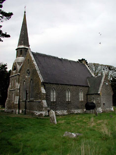 Saint Paul's Church (Moyglare)church/chapel · 162 yd
 Moygaddy Tower HouseRuins · 1.1 mi
 Moygaddy CastleCastle, tower house · 1.1 mi
 Amicus AmericanisMemorial · 1.1 mi
 Saint MaryMemorial · 1.2 mi
 Enclosure in MaynoothEnclosure · 1.3 mi
 Ecclesiastical enclosure in Laraghbryan EastEcclesiastical enclosure · 1.3 mi
 Library GardenHeritage attraction · 1.4 mi
 Library CatHeritage attraction · 1.4 mi
 Common LimeCommon Lime · 1.5 mi
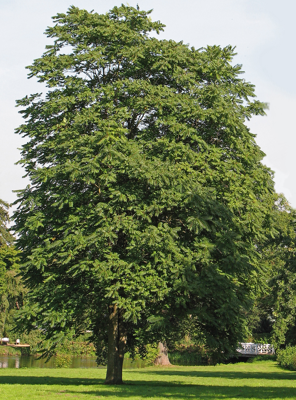 Tree of HeavenTree of Heaven · 1.5 mi