
What is recorded here
Within the SE sector of a rath (GA113-100----). Shown on the 1838 edition of the OS 6-inch map as an L-shaped church and named 'Mountcross R.C. Chapel (in ruins)'. All that survives are short sections of its E and S walls. The E wall (int. L 4m; H 1.5m; wall T 0.75m) is in a much-collapsed state and is overgrown with ivy. It is constructed of drystone masonry and no mortar is evident. A 20th-century headstone is built into its N end. Very overgrown wall-footings (L 3m) to the W of the headstone are more likely to be part of kerbing around a grave in the associated graveyard (GA113-100001-) as opposed to the line of the N wall. Only the grassed-over foundation lines of the S wall (int. L 6m; H 0.3m; T 0.74m) survive; rubble is packed at its W end. The external SE corner of the walls cuts into the enclosing bank of the rath. No architectural features are visible. The cartographic evidence suggests that this chapel dates to the 18th/19th century.
Compiled by: Olive Alcock
Date of upload: 11 March 2020
The monument record does not grant public access. Check the route and ask the landowner before entering private land.
- What survives
- Recorded monument
Places near here
 mill (wind)mill (wind) · 1362 yd
 CrossCross, Churchyard cross · 1365 yd
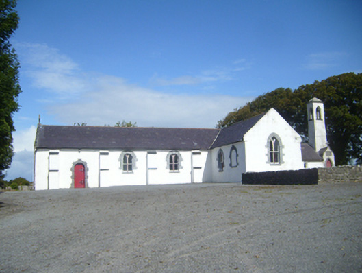 Saint Colman's Catholic Churchchurch/chapel · 1388 yd
 Hut site in CarrowkilleenHut site · 1564 yd
 CastleCastle, tower house · 1.3 mi
 Cahererillan CastleCastle · 1.5 mi
 Mulroney's IslandIslet · 1.7 mi
 Cusheen IslandIslet · 1.9 mi
 Traught BeachBeach / strand · 3.2 mi
 Grave of Saint Mac Duagh's ServantArchaeological place · 3.6 mi
 Abbey HillMountain / peak · 3.8 mi
 Turlough HillMountain / peak · 3.9 mi
Other information
Photo: Credit not shown in the picture search · Rights wording not checked; contact us if this picture should be removed