What is recorded here
MOUND: THE FORTH in Carricklane still bears the forted shape of a place someone built to be seen, remembered or defended. Its age remains uncertain, but the mound itself is certain: earth moved with purpose and left standing. That much is enough to stop treating it as a harmless bump. The uncertainty is not a gap in the story; it is the story. A forted mound does not need a date to warn you that people once shaped the land and the land kept their shape.
The official Northern Ireland record identifies this as MOUND: THE FORTH. Recorded period: UNCERTAIN. The official map point was placed at the centre of the recorded archaeological site from the source map reference.
The monument record does not grant public access. Check the route and ask the landowner before entering private land.
- What survives
- Recorded monument
Places near here
 First Presbyterian ChurchChurch · 1557 yd
 ENCLOSURE in EdenykennedyENCLOSURE · 1573 yd
 Methodist ChurchChurch · 1644 yd
 CASTLE: GOSFORD CASTLE in Gosford DemesneCASTLE: GOSFORD CASTLE · 1.3 mi
 Gosford Forest Park - Red TrailWalking route · 1.5 mi
 Gosford Forest ParkForest · 1.5 mi
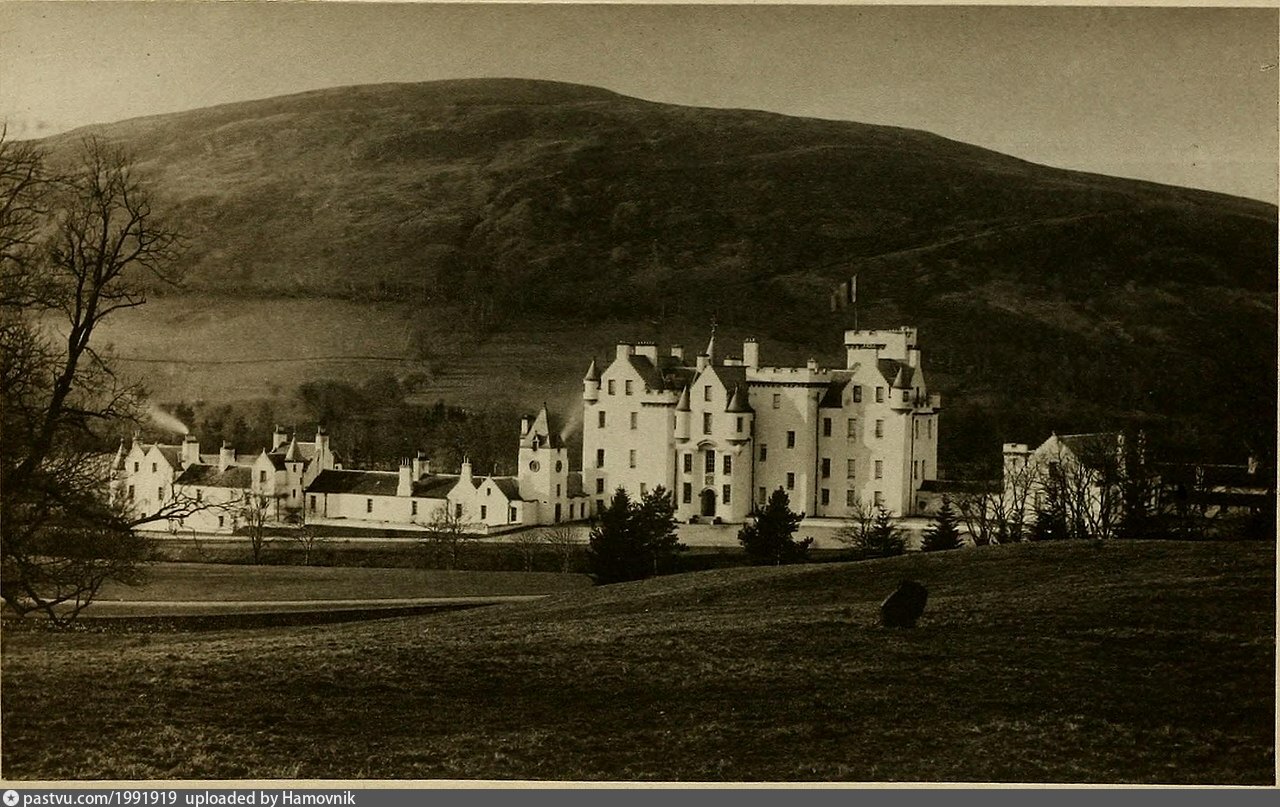 LARGE ENCLOSURE & ?Man-made underground passage: BLAIR'S CAVE in Kilmachugh; LisnagatLARGE ENCLOSURE & ?Man-made underground passage: BLAIR'S CAVE · 1.6 mi
 Gosford CastleCastle · 1.6 mi
 CarrigatukeMountain / peak · 5.2 mi
 Ballymoyer WoodWood · 5.2 mi
 Clare GlenWood · 5.3 mi
 Glen View TrailWalking route · 5.3 mi