What is recorded here
The official Northern Ireland record identifies this as MOUND, possibly BARROW. Recorded period: UNCERTAIN; BRONZE AGE. The official map point was placed at the centre of the recorded archaeological site from the source map reference.
Bronze Age barrow; a burial mound reflecting early ceremonial and funerary practices in the region.
The monument record does not grant public access. Check the route and ask the landowner before entering private land.
- What survives
- Recorded monument
Places near here
 Coney IslandIslet · 1094 yd
 Millennium MilepostVisitor information · 1433 yd
 ENCLOSURE (rath?) & possible Man-made underground passage: MOUNT HALL in ClonmakateENCLOSURE (rath?) & possible Man-made underground passage: MOUNT HALL · 1.4 mi
 Lake Walk (Derryadd)Walking route · 2.0 mi
 Washing BayBay · 2.5 mi
 FINDSPOT of RING & possible ENCLOSURE in AughamullanFINDSPOT of RING & possible ENCLOSURE · 2.8 mi
 Masonic HallHall · 3.1 mi
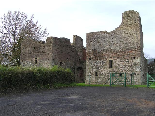 C17th CAMPAIGN FORT: MOUNTJOY CASTLE in Magheralamfield, MountjoyC17th CAMPAIGN FORT: MOUNTJOY CASTLE · 4.0 mi
 Mountjoy CastleRuins · 4.0 mi
 Drumcrow ASSINature reserve · 4.1 mi
 Belville HouseHouse · 4.4 mi
 Drumard PlantationWood · 5.2 mi