
What is recorded here
Mount Hall in Clonmakate still holds a boundary marker and a hidden passage, though age and uncertainty blur their exact shape. The land may have served human life for centuries, yet the true purpose and timeline remain unclear. What is certain is that the site exists, is recorded, and invites closer observation rather than final judgement.
The official Northern Ireland record identifies this as ENCLOSURE (rath?) & possible Man-made underground passage: MOUNT HALL. Recorded period: E.CHRIST.; UNCERTAIN. The official map point was placed at the centre of the recorded archaeological site from the source map reference.
The monument record does not grant public access. Check the route and ask the landowner before entering private land.
- What survives
- Recorded monument
Places near here
 Lake Walk (Derryadd)Walking route · 1.3 mi
 ENCLOSURE in DerrycorENCLOSURE · 1.6 mi
 Masonic HallHall · 1.7 mi
 Millennium MilepostVisitor information · 1.9 mi
 Coney IslandIslet · 2.0 mi
.jpg?width=1280) Ardress HouseHouse · 3.5 mi
Ardress HouseHouse · 3.5 mi Washing BayBay · 3.8 mi
 ENCLOSURE in TamlaghtmoreENCLOSURE · 3.9 mi
 Dan Winter's cottageHeritage attraction · 4.2 mi
 Drumcrow ASSINature reserve · 4.4 mi
 MEDIEVAL & POST-MED. CHURCH & GRAVEYARD: DRUMGOSE in DrumcreeMEDIEVAL & POST-MED. CHURCH & GRAVEYARD: DRUMGOSE · 5.0 mi
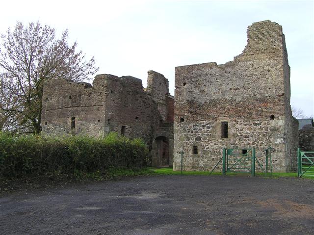 C17th CAMPAIGN FORT: MOUNTJOY CASTLE in Magheralamfield, MountjoyC17th CAMPAIGN FORT: MOUNTJOY CASTLE · 5.3 mi
Other information
Photo: Credit not shown in the picture search · Rights wording not checked; contact us if this picture should be removed