What is recorded here
The official Northern Ireland record identifies this as MOUND & possible Man-made underground passage. Recorded period: E.CHRIST.; UNCERTAIN. Recorded protection: Scheduled. The official map point was placed at the centre of the recorded archaeological site from the source map reference.
A possible Neolithic passage tomb with a mound and man-made underground passage; significance lies in its potential as an early ritual or burial structure, though its exact date and function remain uncertain.
The monument record does not grant public access. Check the route and ask the landowner before entering private land.
- What survives
- Recorded monument
Places near here
 AP Cropmark- Possible enclosure (rath?) in BallybeenAP Cropmark- Possible enclosure (rath?) · 479 yd
 Dundonald MoatArchaeological place · 1120 yd
 Cleland MausoleumMausoleum · 1172 yd
_-_geograph.org.uk_-_3201578.jpg?width=1280) Presbyterian ChurchChurch · 1231 yd
Presbyterian ChurchChurch · 1231 yd Comber GreenwayWalking route · 1237 yd
 The Somme MemorialMemorial · 1.6 mi
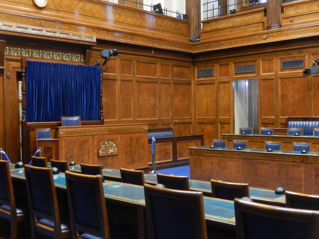 Assembly ChamberHeritage attraction · 1.6 mi
 Braniel HillMountain / peak · 1.8 mi
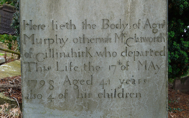 CHURCH RUINS & GRAVEYARD: KNOCK/DUNDELA in KnockCHURCH RUINS & GRAVEYARD: KNOCK/DUNDELA · 2.0 mi
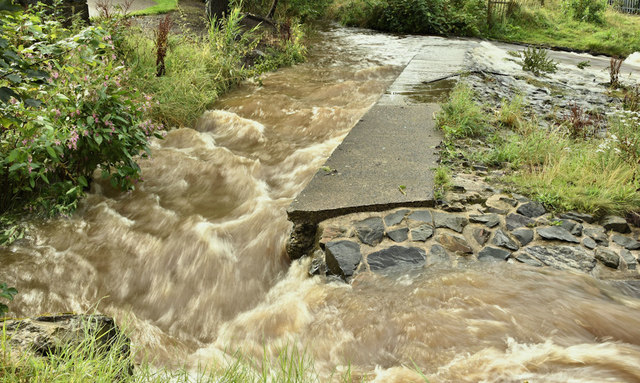 The HollowWood · 3.1 mi
 FORTIFICATION (site of): MOUNT ALEXANDER CASTLE in Mount AlexanderFORTIFICATION (site of): MOUNT ALEXANDER CASTLE · 3.2 mi
 Lisnabreeney WaterfallWaterfall · 3.4 mi