What is recorded here
On the 1st (1839) ed. 6-inch OS map ‘Site of Moat’ is indicated on the map near the
NE corner of Umrygar towland. It is unclear whether the ‘Moat’ was at the location of the text or in the vicinity. The exact location of the monument is unknown.
Compiled by: Jean Farrelly
Date of upload: 24 October 2012
The monument record does not grant public access. Check the route and ask the landowner before entering private land.
- What survives
- Recorded monument
Places near here
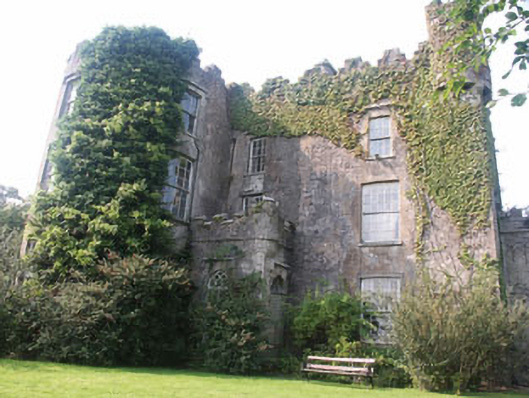 Carnew Castlecastle/fortified house · 1024 yd
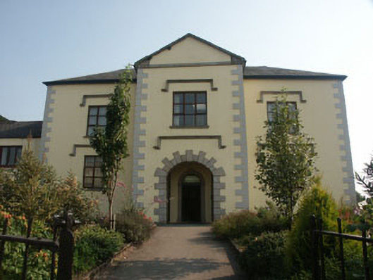 schoolschool · 1051 yd
 Enclosure in TombreenEnclosure · 1619 yd
 Blue SchoolMemorial · 2.2 mi
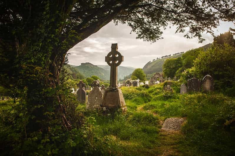 Carrig WoodForest · 2.7 mi
 Saint Brigid's WellSpring · 2.7 mi
 Ballyknocker WoodWood · 2.9 mi
 SlievegowerMountain / peak · 3.0 mi
 SlieveboyMountain / peak · 3.2 mi
 Embanked enclosureCastle, motte · 4.9 mi
 Clonogan Castle (site of)Castle, unclassified · 5.8 mi