What is recorded here
A small mound or low cairn was annotated on a sketch map in the files of the National Museum archives in the townland of Tristernagh Demesne (pers. comm. Maeve Sikora NMI 28/07/2023). This feature may have been a low cairn or mound which stood on or close to Tristernagh Island on Lough Iron which has since been drained and the land reclaimed. Possible small mound or circular tree-covered feature similar to a crannog is visible on Google Earth orthoimages. On the 1837 ed. OS 6-inch map Tristernagh Island is shown standing at the S end of Lough Iron, 120m E of the shoreline of Tristernagh Demesne. Tristernagh monastery (WM011-053----) lies 450m to the SW of Tristernagh Island.
See attached Google Earth orthoimages
Compiled by: Caimin O'Brien based on details provided by Maeve Sikora, Keeper of Irish Antiquities,
National Museum of Ireland
Date of upload: 28 July 2023
A small prehistoric burial mound, likely dating to the Neolithic or Early Bronze Age; its significance lies in its potential as a rare local indicator of early funerary practices in an otherwise poorly recorded region.
The monument record does not grant public access. Check the route and ask the landowner before entering private land.
- What survives
- Recorded monument
Places near here
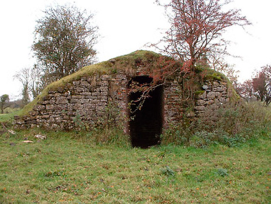 Tristernagh Houseicehouse · 488 yd
 Abbey, Tristernagh Ho.Religious house, Augustinian canons · 566 yd
 Crannog in Cullenhugh,lough IronCrannog · 1077 yd
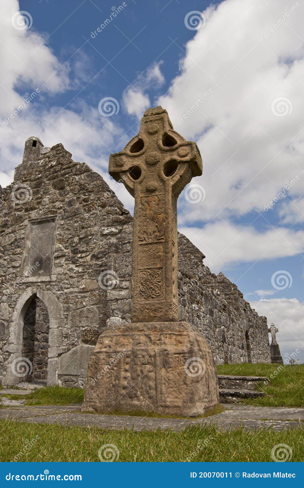 Site of CrossCross · 1154 yd
 Castle Quarter, Castle (in ruins)Castle, unclassified · 1692 yd
 Baronstown ForestWood · 1.5 mi
 Horse-chestnutHorse-chestnut · 1.6 mi
 Carrick CastleCastle · 1.7 mi
 Carrickphilbin IslandIslet · 3.9 mi
 Srudarra IslandIslet · 4.6 mi
 Craft WorkshopHeritage attraction · 9.9 mi
 Guest ServicesVisitor information · 10.0 mi