What is recorded here
The following description is derived from both the published 'Archaeological Inventory of County Louth' (Dublin: Stationery Office, 1986) and the 'Archaeological Survey of County Louth' (Dublin: Stationery Office, 1991). In certain instances the entries have been revised and updated in the light of recent research.
Date of upload/revision: 17 July 2007
Rectangular mound (L c. 12.8m, Wth c. 3m) recorded as being in existence in 1836 (OS Letters). Located in flat land immediately to the W of the River Dee. The site, known locally as 'Ferdia's Grave' (CLAJ 1922, 135), is now levelled, with no visible surface trace.
The monument record does not grant public access. Check the route and ask the landowner before entering private land.
- What survives
- Recorded monument
Places near here
 European White ElmEuropean White Elm · 136 yd
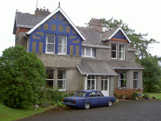 The Rectoryrectory/glebe/vicarage/curate's house · 146 yd
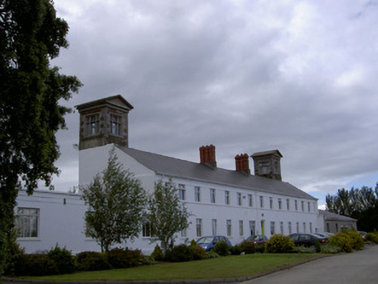 workhouseworkhouse · 179 yd
 CastleCastle, tower house · 263 yd
 Church Chancel (in Ruins)Cross, Churchyard cross · 666 yd
 Sir Frederick Foster MemorialMemorial · 710 yd
 Town defences in Townparks (ardee By.)Town defences · 722 yd
 The LissCastle, motte · 1423 yd
 Lebanon CedarLebanon Cedar · 1720 yd
 Graveyard in StickillinGraveyard · 1.8 mi
 Screedoge HillMountain / peak · 2.2 mi
 Mount OrielMountain / peak · 4.6 mi