What is recorded here
In undulating countryside. A circular area (diam. c. 10.3m) defined by a low scarp (ext. H 0.3m) from SE-NE. No evidence of fosse or entrance. The mound may have been built or reused by the Ordnance Survey in the 19th century as there is a trig-station point on top of the mound as depicted on the 1906 edition of the OS 6-inch map.
The above description is derived from the published 'Archaeological Inventory of County Laois' (Dublin Stationery Office, 1995) compiled by P. David Sweetman, Olive Alcock and Bernie Moran. In certain instances the entries have been revised and updated in the light of recent research.
Compiled by Caimin O'Brien
Date of upload/revision: 12 December 2011
The monument record does not grant public access. Check the route and ask the landowner before entering private land.
- What survives
- Recorded monument
Places near here
 Enclosure in Toberboe OR Killenny MoreEnclosure · 449 yd
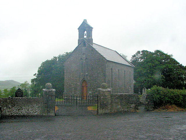 Church (in Ruins)Church · 676 yd
 Enclosure in Knocknagrally OR Killenny BegEnclosure · 879 yd
 Church in Glebe (clanmallagh By., Durrow Ed),grenanChurch · 1.0 mi
 Bawn in BallykealyBawn · 1.2 mi
 CastleCastle, unclassified · 1.7 mi
 Anker's IslandIsland · 3.2 mi
 Big WoodWood · 3.4 mi
 European PearEuropean Pear · 4.1 mi
 Cnoc SeanrathaMemorial · 7.0 mi
 DelaneyMemorial · 7.4 mi
 Enclosure in Durrow TownparksEnclosure · 1687 yd