What is recorded here
Known locally as 'Cearc's Grave'. The site consists of a slightly irregular-shaped earthen mound. The mound is 44m SSW-NNE and 30m WNW-ESE at the base and 22m SSW-NNE and 19m WNW-ESE at the top. It is up to 4.75m in height. There is a hollow on the top of the mound said to have contained two stone slabs. The site is located on the valley floor of the Glen river in marshy pasture land.
The above description was derived from the 'Archaeological Survey of County Donegal. A description of the field antiquities of the County from the Mesolithic Period to the 17th century.' Compiled by: Brian Lacey with Eamon Cody, Claire Cotter, Judy Cuppage, Noel Dunne, Vincent Hurley, Celie O'Rahilly, Paul Walsh and Seán Ó Nualláin (Lifford: Donegal County Council, 1983). In certain instances the entries have been revised and updated.
Date of upload: 22 September 2008
The monument record does not grant public access. Check the route and ask the landowner before entering private land.
- What survives
- Recorded monument
Places near here
 Stranakirk DolmenNamed dolmen · 663 yd
 CroaghstraleelMountain / peak · 1173 yd
 Straleel North Portal TombPortal tomb · 1.1 mi
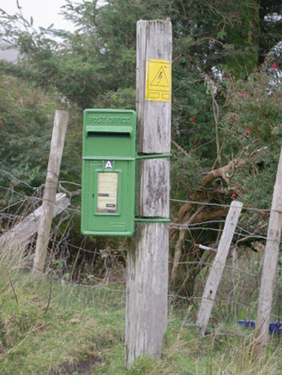 post boxpost box · 2.4 mi
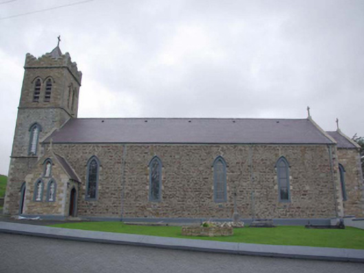 Caitliceach Naomh Columba Eaglaischurch/chapel · 2.6 mi
 CastleCastle, unclassified · 4.5 mi
 Slieve League SE TopMountain / peak · 4.5 mi
 Glencolmcille Old GraveyardGraveyard · 4.5 mi
 Slieve LeagueMountain / peak · 4.7 mi
 Cliffs at TeelinPublicly named cliff or headland · 4.9 mi
 International Appalachian Trail Ulster-IrelandWalking route · 4.9 mi
 Trá an GhleannaBeach / strand · 5.1 mi