What is recorded here
In pasture, located on a low E–W ridge with good views. Flat-topped, subcircular grass-covered mound (9.5m E–W; 9.7m N–S; H 0.4-0.5m), which appears to be of earthen construction. According to local tradition, it is a burial site.
Compiled by: Jane O’Shaughnessy
Date of upload: 8 December 2021
A Neolithic burial mound, likely dating to the 4th–3rd millennium BCE. Its location on a prominent ridge suggests ritual or ceremonial significance, common in Neolithic landscape practices.
The monument record does not grant public access. Check the route and ask the landowner before entering private land.
- What survives
- Recorded monument
Places near here
 IndicatedFairy fort / earthen ringfort · 516 yd
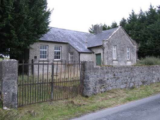 Saint Patrick's National Schoolschool · 787 yd
 Rath Castle in ruinsCastle, tower house · 926 yd
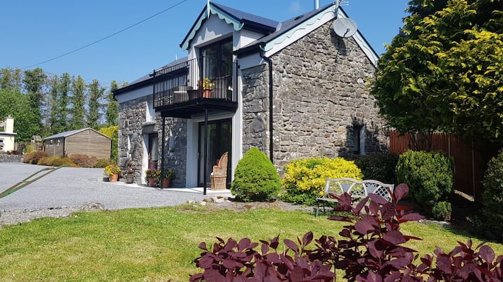 Enclosure in Carrowbaun (costello By.)Enclosure · 1536 yd
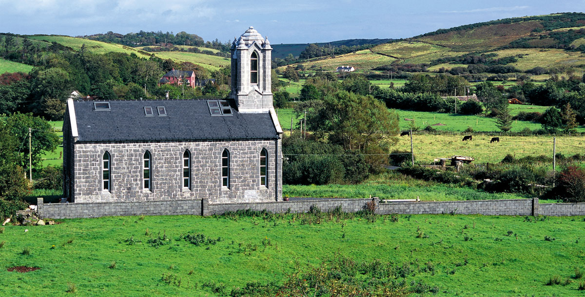 Chapel in ruinsChapel · 1.4 mi
 East Mayo Brigade MonumentMemorial · 1.6 mi
 CastleCastle, unclassified · 2.7 mi
 Knock ShrineHeritage attraction · 5.7 mi
 Knock MuseumMuseum · 5.7 mi
 Thorn CaveCave · 7.3 mi
 I'll Send You The FareMemorial · 7.3 mi
 Bawn IslandIslet · 16 mi