What is recorded here
Located on a slight E-facing slope in rolling pastureland. Not indicated on the 1st ed. (1843) OS 6-inch map and marked as possible mound at the W end of a small wooded enclosure on the 1903 ed. The site is now levelled and tree plantation has been cleared in favour of pasture. There is no visible trace of the site at ground level. Traces of a large curving bank are all that remains of the enclosing element of the plantation.
The above description is derived from 'The Archaeological Inventory of County Tipperary. Vol. 1 - North Tipperary' compiled by Jean Farrelly and Caimin O'Brien (Dublin: Stationery Office, 2002). In certain instances the entries have been revised and updated in the light of recent research.
Date of upload/revision: 22 September 2008
A Neolithic burial mound, likely dating to the 4th–3rd millennium BCE. Its original form and wider significance have been compromised by levelling.
This remains an important historical record, but the official description says the monument is no longer visible or has been destroyed. The monument record does not grant public access. Check the route and ask the landowner before entering private land.
- What survives
- No visible remains or recorded as destroyed
Places near here
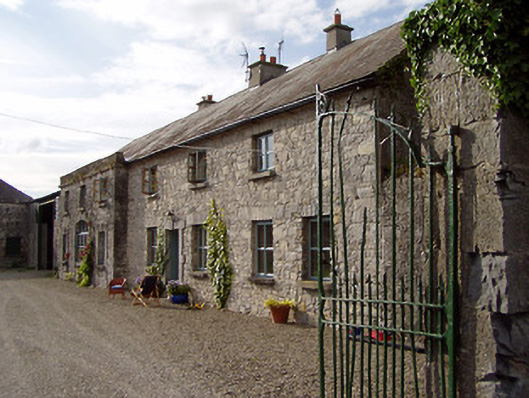 Rapla Houseoutbuilding · 381 yd
 Site of CastleCastle, unclassified · 544 yd
 Kilruane Househouse · 598 yd
 Shean FortsFairy fort / earthen ringfort · 1227 yd
 Enclosure in Ballynamurragh SouthEnclosure · 1290 yd
 Castle (in Ruins)Castle, unclassified · 1.2 mi
 James Devaney MemorialMemorial · 1.3 mi
 Old BarracksHeritage attraction · 2.0 mi
 Nenagh Heritage CentreMuseum · 2.3 mi
 Knigh HillMountain / peak · 3.2 mi
 Ballycapple WoodForest · 3.6 mi
 Gibbet HillMountain / peak · 3.8 mi