What is recorded here
Situated in level arable land, on the townland boundary with Springfield or Spittlefield. Depicted on the 1837 ed. OS 6-inch map as a very small oval-shaped earthwork (approx. dims. 12.5m NW-SE; 9.5m NE-SW) possibly a mound the base of which is intersected at SW by townland boundary running NW-SE. Annotated 'Moat' on the 1837 OS Fair Plan map. Levelled monument described in 1970 as no surface remains visible. Monument is not visible on Digital Globe aerial photography and the area is now occupied by a housing estate. Prior to this housing development the area was archaeologically tested by Christopher Read under licence No. 02E1301 and nothing of archaeological significance was uncovered.
Compiled by: Alison McQueen, Vera Rahilly and Caimin O’Brien
Date of upload: 04 June 2019
The monument record does not grant public access. Check the route and ask the landowner before entering private land.
- What survives
- Recorded monument
Places near here
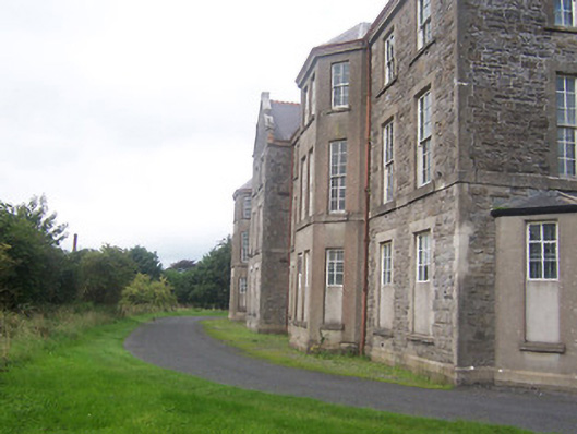 hospital/infirmaryhospital/infirmary · 200 yd
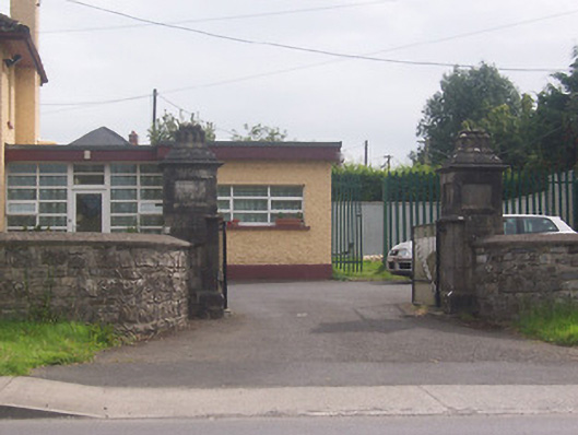 Acorn Lodgegates/railings/walls · 465 yd
 Partially indicatedFairy fort / earthen ringfort · 503 yd
 Partially hachuredFairy fort / earthen ringfort · 1299 yd
 Augustinian Monks Memorial StatueMemorial · 1692 yd
 Petits Castle Mote & Mill (Site of)Castle, unclassified · 1.1 mi
 The Chimera GalleryGallery · 1.2 mi
 CastleCastle, unclassified · 1.2 mi
 Famine MemorialMemorial · 1.3 mi
 Mullingar Cathedral MuseumMuseum · 1.3 mi
 Saint Brigid's WellSpring · 2.0 mi
 Long PlantingForest · 2.7 mi