What is recorded here
On low-lying ground on the SE bank of the Inny River. This potential monument was first recorded on the OS 25-inch plan (surveyed 1911) where it is represented as a subrectangular raised area defined by hachures. This feature is overlain by a massive spoil heap resulting from river-drainage works and there is no visible trace of it at ground level. The possibility that this mound could be the result of similar works cannot be ruled out.
Compiled by: P. Walsh
Date of upload: 21 November 2012
This remains an important historical record, but the official description says the monument is no longer visible or has been destroyed. The monument record does not grant public access. Check the route and ask the landowner before entering private land.
- What survives
- No visible remains or recorded as destroyed
Places near here
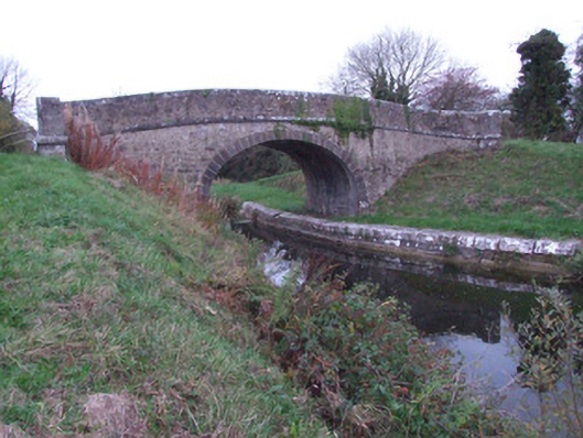 Guy's Bridgebridge · 658 yd
 Molly Ward's Bridgebridge · 819 yd
 Goldsmith Birthplace, PallasVisitor information · 1089 yd
 Newcastle WoodsForest · 1219 yd
 Enclosure in Cloonkeen (rathcline By.)Enclosure · 1311 yd
 Target WoodWood · 1535 yd
 Enclosure in RathEnclosure · 1.1 mi
 Guest ServicesVisitor information · 1.3 mi
 Craft WorkshopHeritage attraction · 1.3 mi
 Ballymulvey Ho.Castle, unclassified · 1.6 mi
 Not locatedCastle, unclassified · 1.9 mi
 Sessile OakSessile Oak · 3.1 mi