What is recorded here
Thirty metres of orange clay rise above the pasture in Churchfield Lower, dominating the edge where the land drops toward Lough Mask. The mound keeps a perfect circular shape, yet a shallow scoop marks its southeast slope where stones still slump beside the grass. It may be a buried chamber, a discarded heap, or a natural bump dressed by human hands. The Partry Mountains watch it from the west while the lake stretches east, waiting for someone to explain why the clay stopped moving.
In pasture, located on a plateau or terrace on the lower SE-facing foothills of the Partry Mountains, in Churchfield Lower townland. The location provides excellent views which encompass the rising slopes of the Party Mountains to W-N, the broad expanse of Lough Mask to E, and the mountains of Connemara to SE−S. A stream skirts the W and N sides of the plateau. Ground falls away steeply 6m to E of the mound, dropping to flat ground bordering the shore of Lough Mask c. 400m to E. This mound is not listed in the RMP (1997). It was first noted by the Ballinrobe Survey, who recorded it as a ‘tumulus’ (Lavelle et al. 1994, 8, no. 32). Roughly circular, grass-covered mound (diam. 30-35m; H c. 3m), gently domed in profile, but with a somewhat flattened top (diam c. 6m) which grades seamlessly into well-defined, steeply-sloping sides. There is a shallow, scoop or depression (max. dims. c. 6m N-S; c. 3m E−W) in the SE slope, probably the result of past disturbance/quarrying. A loose heap (max. dim. 4.5m) of small and medium sized stones slumps from the E edge of the depression to the base of the mound. The stones are not sod-covered, and are probably the result of field clearance.
The nature of this mound is uncertain. It is not shown on the 1838 and 1929 OS 6-inch maps; it is shown on the 25-inch plan as a natural feature, indicated in outline by a dotted line, with an arc of hachuring on the SE side, probably indicating the depression/area of quarrying noted above. Where small areas of sod have been eroded, it can be seen that the mound is composed of pale orange-brown, boulder clay mixed small stones and gravel. It is remarkably compact and circular and the possibility exists that it is an artificial mound.
Compiled by: Jane O’Shaughnessy
Date of upload: 5 May 2017
A Neolithic passage tomb; dates to the 4th–3rd millennium BCE. Its position on a prominent plateau suggests it was a significant ritual or communal site, offering strategic visibility and alignment with the surrounding landscape.
The monument record does not grant public access. Check the route and ask the landowner before entering private land.
- What survives
- Recorded monument
Places near here
 Runnet HillMountain / peak · 410 yd
 Church in ruinsChurch · 875 yd
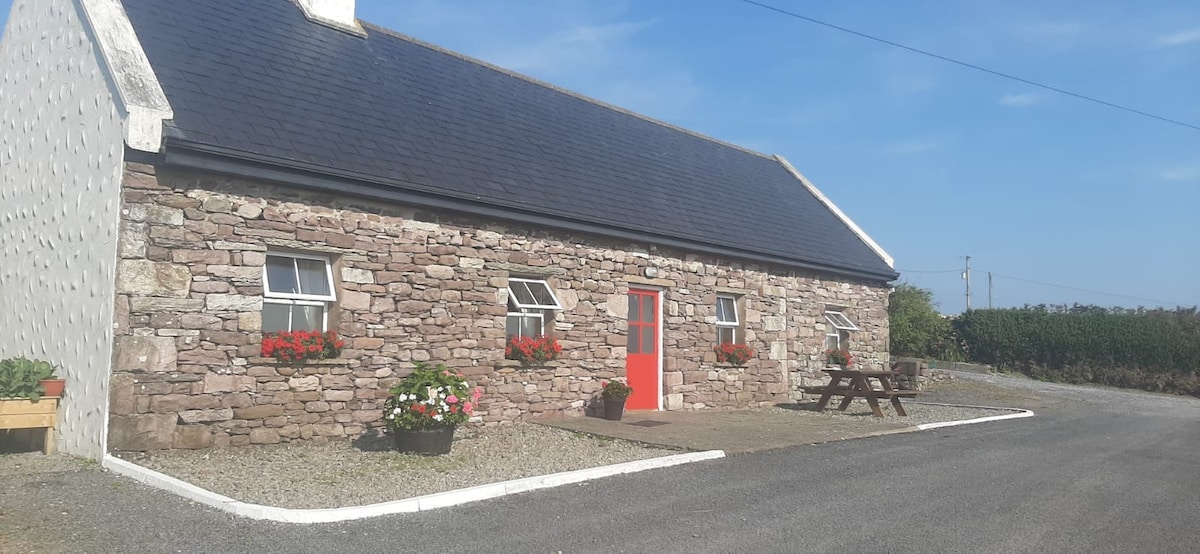 ToberkeelaghHoly well · 1.3 mi
 Black RockIslet · 1.3 mi
 Dash IslandIslet · 1.3 mi
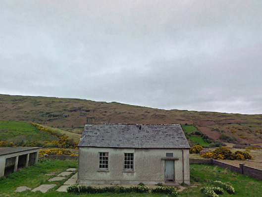 Glensaul National Schoolschool · 1.4 mi
 Coill Thuar Mhic ÉadaighWood · 2.1 mi
 CarrigeenbaunNamed rock · 2.4 mi
 Devenish RocksNamed rock · 2.6 mi
 St. Brigets WellHoly well · 3.0 mi
 Castle in ruinsCastle, unclassified · 4.5 mi
 Ballindeonagh Castle (in ruins)Castle, unclassified · 4.7 mi